Transport Functions
Rail
Road
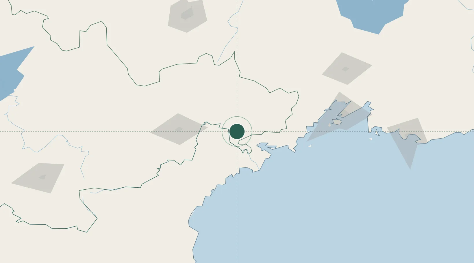
Hub Profile
Place type
District seat
Region
Jilin
Population
77,028
Time zone
Asia/Shanghai
Elevation
42 m
Location
Nearby Logistics Neighbours
Cities
- 1Tumen43 km
- 2Yueqing45 km
- 3Zarubino65 km
- 4Vityaz72 km
- 5Rajin (Najin)73 km
Ports
- 1Pos'yet43 km
- 2Zarubino64 km
- 3Najin71 km
- 4Slavyanka83 km
- 5Vladivostok127 km
Airports
DatabookThe Record of Consolidated Knowledge
China beyond logistics?