UN/LOCODE hub · North Korea
KPRJN

Rajin (Najin)

42.2167°, 130.2833°
3
Transport functions

Transport Functions

Port
Rail
Road
Rajin (Najin) is also a profiled seaport →
UN/LOCODE

Hub Profile

Region
13
GeoNames

Location

Location of KPRJN
Natural Earth 10m (public domain) · 13 · KPRJN · 42.22, 130.28GoogleOSMYandex

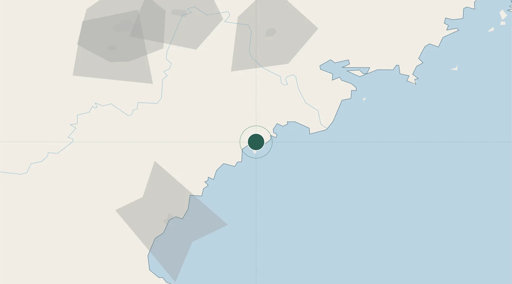
Nearby Logistics Neighbours

Cities
  1. 1Hunchun73 km
  2. 2Zarubino79 km
  3. 3Yueqing83 km
  4. 4Vityaz84 km
  5. 5Tumen89 km
Nearest neighbours — logibook spatial index (haversine) over the source coordinates
Ports
  1. 1Ch'ongjin63 km
  2. 2Pos'yet64 km
  3. 3Zarubino80 km
  4. 4Slavyanka116 km
  5. 5Vladivostok165 km
Nearest neighbours — logibook spatial index (haversine) over the source coordinates
Airports
  1. 1Yanji Chaoyangchuan Airport101 km
  2. 2Orang (Chongjin) Airport102 km
  3. 3Vladivostok International Airport201 km
  4. 4Changbaishan Airport222 km
  5. 5Vozdvizhenka Air Base231 km
Nearest neighbours — logibook spatial index (haversine) over the source coordinates
Trade Zones
  1. 1Rason Special Economic Zone5 km
  2. 2Longjing Industrial Concentration Zone53 km
  3. 3Kyongwon Economic Development Zone63 km
  4. 4Huichun Export Processing Zone69 km
  5. 5Onsōng Island Tourist Development Zone85 km
Nearest neighbours — logibook spatial index (haversine) over the source coordinates
DatabookThe Record of Consolidated Knowledge
North Korea beyond logistics?
Browse databook

All Sources

LocationsUN/LOCODE
UN/LOCODE — free
Portsthe NGA World Port Index
Public domain (US gov)
AirportsOurAirports
Public domain
Trade Zonesthe World Bank SEZ database
CC BY 4.0
Trade ZonesOpen Zone Map
CC BY
← North Korea locations