Transport Functions
Port
Road
Hub Profile
Place type
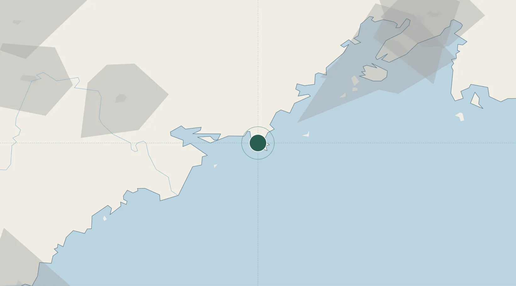
Populated place
Region
Primorye
Time zone
Asia/Vladivostok
Elevation
8 m
Location
Nearby Logistics Neighbours
Cities
- 1Zarubino7 km
- 2Hunchun72 km
- 3Vostokmorservice78 km
- 4Vladivostok82 km
- 5Rajin (Najin)84 km
Ports
- 1Zarubino8 km
- 2Pos'yet31 km
- 3Slavyanka35 km
- 4Vladivostok82 km
- 5Najin82 km
Airports
- 1Vladivostok International Airport119 km
- 2Yanji Chaoyangchuan Airport144 km
- 3Vozdvizhenka Air Base158 km
- 4Orang (Chongjin) Airport181 km
- 5Chernigovka Air Base222 km
Trade Zones
DatabookThe Record of Consolidated Knowledge
Russia beyond logistics?