Medium airport · North Korea

Riwon AirbaseKP-0038
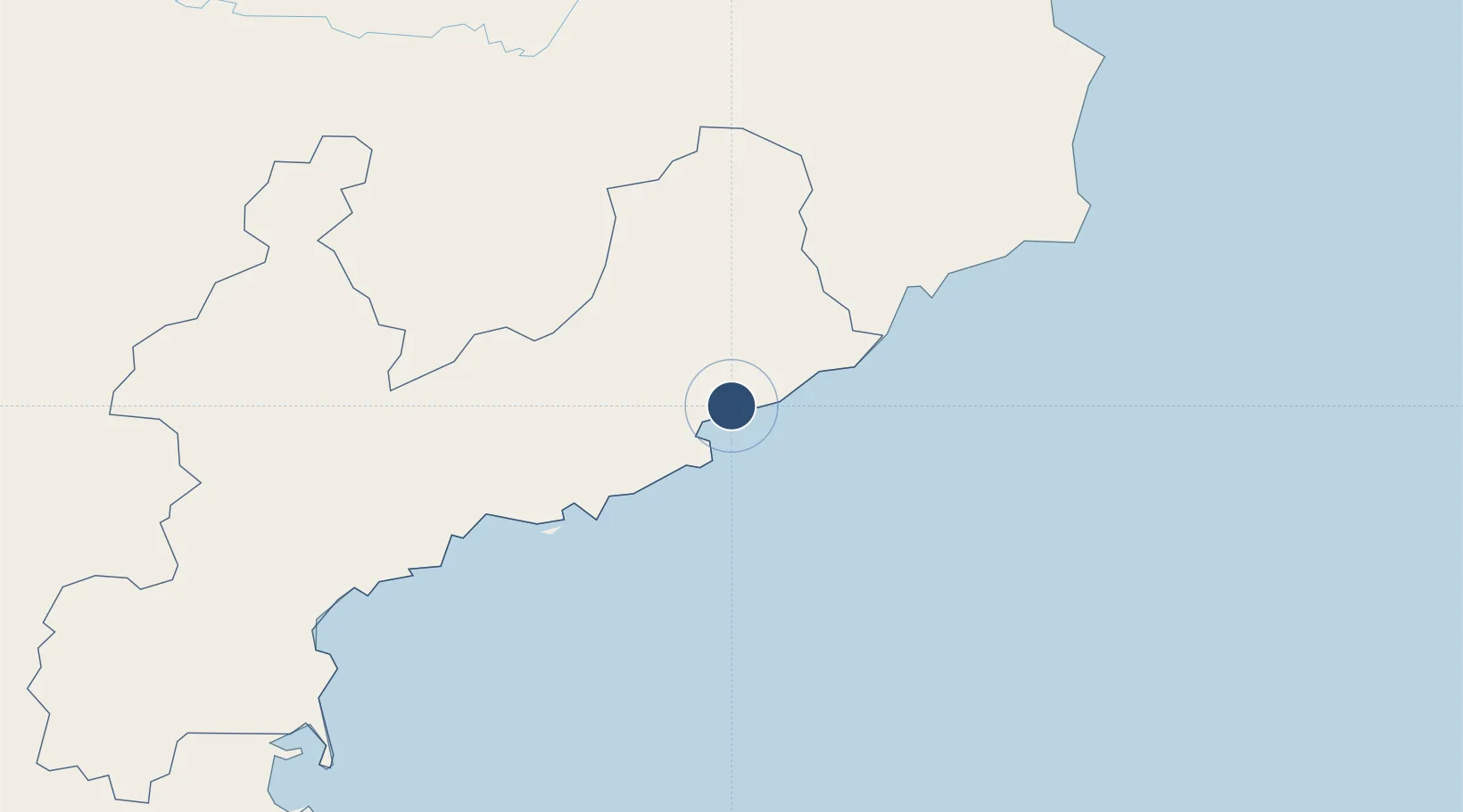
40.3598°, 128.7206°
8,150 ft
Longest runway
1
Runways
85 ft
Elevation

Runway & Layout

Runways · 1

RunwayDimensions SurfaceTrue headingLit
11/29 8,150 × 131ft Asphalt 101°
OurAirports

Airport Specifications

Airport class
Medium airport
OurAirports
Scheduled service
No
OurAirports
Runway surface
Asphalt
OurAirports
Served city
Riwon-gun
OurAirports

Location

Location of KP-0038
Natural Earth 10m (public domain) · Hamgyŏng-namdo · KP-0038 · 40.36, 128.72GoogleOSMYandex

Nearby Logistics Neighbours

Airports
  1. 1Hwangsuwon Airbase60 km
  2. 2Toksan Air Base103 km
  3. 3Changjin Air Force Base123 km
  4. 4Sondok Airport126 km
  5. 5Orang (Chongjin) Airport142 km
Nearest neighbours — logibook spatial index (haversine) over the source coordinates
Cities
  1. 1Riwon9 km
  2. 2Tanchon19 km
  3. 3Sinpo51 km
  4. 4Odaejin143 km
  5. 5Yeoncheon-gun184 km
Nearest neighbours — logibook spatial index (haversine) over the source coordinates
Ports
  1. 1Kimch'aek53 km
  2. 2Hungnam111 km
  3. 3Wonsan172 km
  4. 4Ch'ongjin181 km
  5. 5Sokch'o Hang240 km
Nearest neighbours — logibook spatial index (haversine) over the source coordinates
Trade Zones
  1. 1Pukchong Agricultural Development Zone38 km
  2. 2Hō­ngnam Industrial Development Zone119 km
  3. 3Hyesan Economic Development Zone125 km
  4. 4Changbai Economic Development Zone126 km
  5. 5Ŏrang Agricultural Development Zone145 km
Nearest neighbours — logibook spatial index (haversine) over the source coordinates
DatabookThe Record of Consolidated Knowledge
North Korea beyond logistics?
Browse databook

All Sources

AirportsOurAirports
Public domain
Portsthe NGA World Port Index
Public domain (US gov)
LocationsUN/LOCODE
UN/LOCODE — free
Trade Zonesthe World Bank SEZ database
CC BY 4.0
Trade ZonesOpen Zone Map
CC BY
← North Korea airports