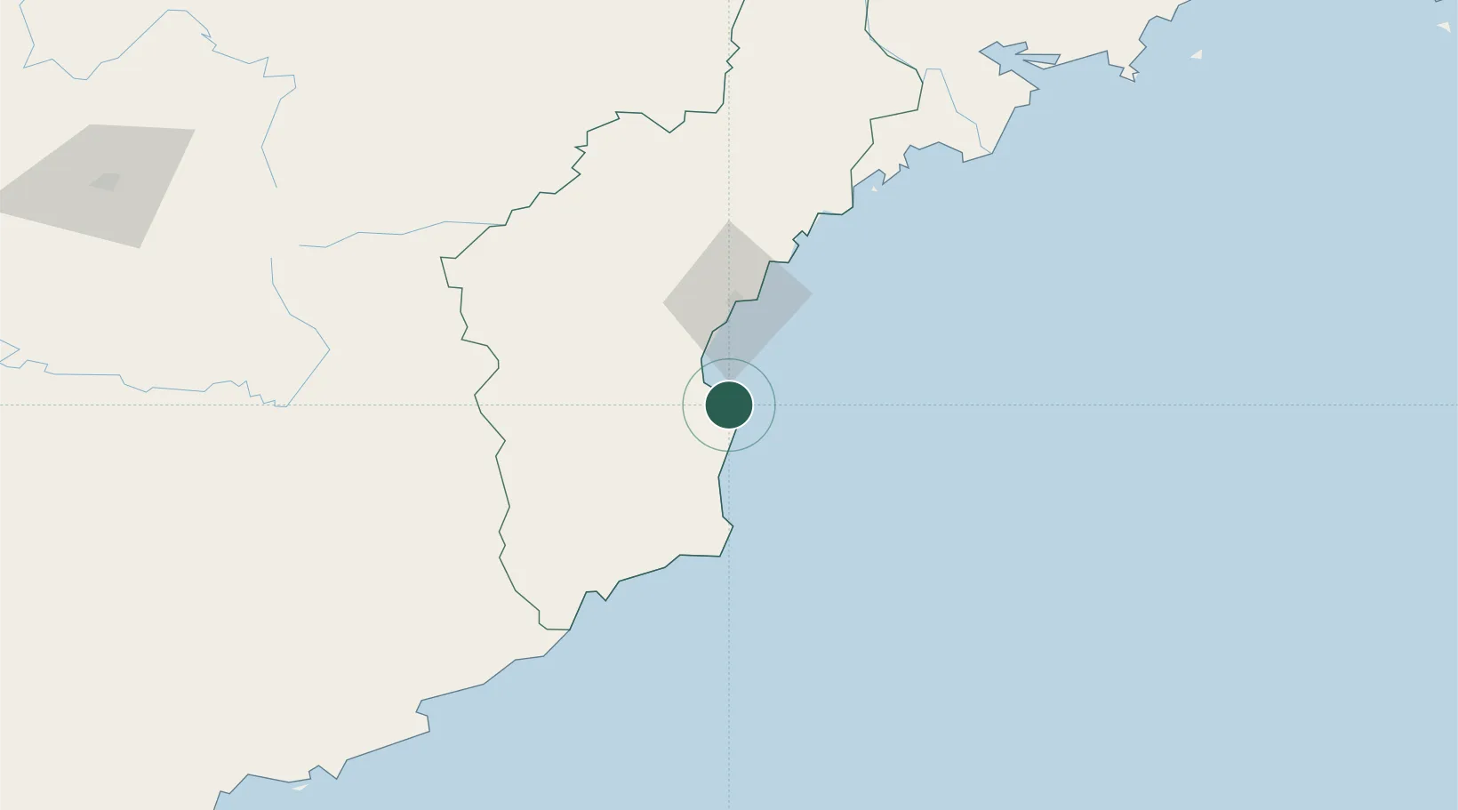
UN/LOCODE hub · North Korea
KPODA

Odaejin

41.3833°, 129.7500°
1
Transport functions

Transport Functions

Port
UN/LOCODE

Location

Location of KPODA
Natural Earth 10m (public domain) · Hamgyŏng-bukto · KPODA · 41.38, 129.75GoogleOSMYandex

Nearby Logistics Neighbours

Cities
  1. 1Rajin (Najin)103 km
  2. 2Tanchon128 km
  3. 3Riwon151 km
  4. 4Yueqing167 km
  5. 5Hunchun173 km
Nearest neighbours — logibook spatial index (haversine) over the source coordinates
Ports
  1. 1Ch'ongjin43 km
  2. 2Kimch'aek92 km
  3. 3Najin105 km
  4. 4Pos'yet165 km
  5. 5Zarubino177 km
Nearest neighbours — logibook spatial index (haversine) over the source coordinates
Airports
  1. 1Orang (Chongjin) Airport10 km
  2. 2Riwon Airbase143 km
  3. 3Hwangsuwon Airbase155 km
  4. 4Yanji Chaoyangchuan Airport169 km
  5. 5Changbaishan Airport194 km
Nearest neighbours — logibook spatial index (haversine) over the source coordinates
Trade Zones
  1. 1Ŏrang Agricultural Development Zone11 km
  2. 2Rason Special Economic Zone107 km
  3. 3Longjing Industrial Concentration Zone123 km
  4. 4Changbai Economic Development Zone129 km
  5. 5Hyesan Economic Development Zone131 km
Nearest neighbours — logibook spatial index (haversine) over the source coordinates
DatabookThe Record of Consolidated Knowledge
North Korea beyond logistics?
Browse databook

All Sources

LocationsUN/LOCODE
UN/LOCODE — free
Portsthe NGA World Port Index
Public domain (US gov)
AirportsOurAirports
Public domain
Trade Zonesthe World Bank SEZ database
CC BY 4.0
Trade ZonesOpen Zone Map
CC BY
← North Korea locations