Transport Functions
Port
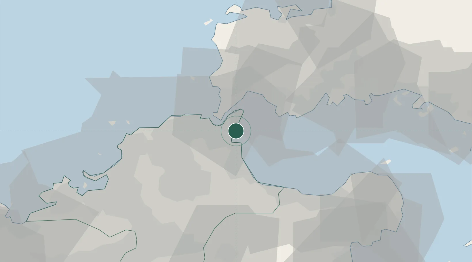
Hub Profile
Place type
Populated place
Region
Fukuoka
Time zone
Asia/Tokyo
Elevation
2 m
Location
Nearby Logistics Neighbours
Cities
- 1Kanmon7 km
- 2Moji/Kitakyushu9 km
- 3Kokura12 km
- 4Tobata/Kitakyushu14 km
- 5Kitakyushu14 km
Ports
- 1Shimonoseki9 km
- 2Moji Ko9 km
- 3Kokura Ko9 km
- 4Kanda10 km
- 5Yahata15 km
Airports
- 1Kitakyushu Airport5 km
- 2JASDF Tsuiki Air Base21 km
- 3Yamaguchi Ube Airport28 km
- 4JASDF Ashiya Air Base31 km
- 5JASDF Hofu Airfield55 km
Trade Zones
- 1Higashi Kyushu Medical Valley Concept Special Zone58 km
- 2Green Asia International Strategic Comprehensive Special Zone60 km
- 3Kyushu Asia Tourism Island Comprehensive Special Zone62 km
- 4Fukuoka City Strategic Special Zone63 km
- 5Yamaguchi Next-Generation Agricultural Production Structure Establishment Special Zone89 km
DatabookThe Record of Consolidated Knowledge
Japan beyond logistics?