UN/LOCODE hub · Japan
JPMOJ
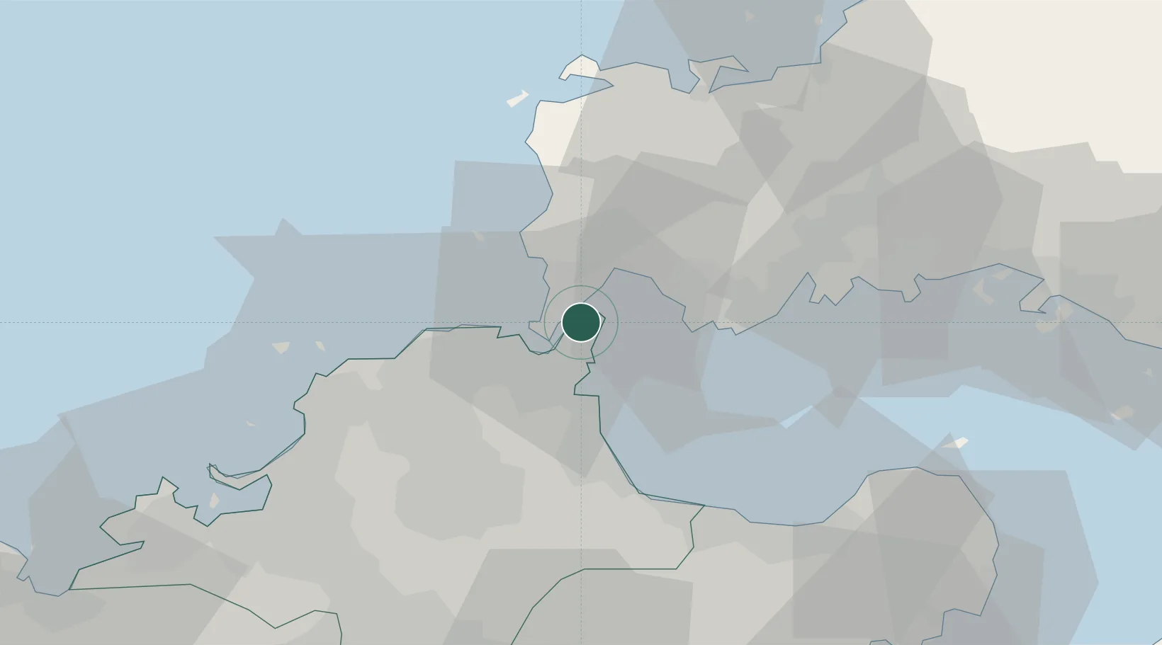
Moji/Kitakyushu
33.9481°, 130.9748°
4
Transport functions
5
Container terminals
Transport Functions
Port
Rail
Road
Postal
Hub Profile
Region
40
Logistics facilities
15
Container terminals
5
Location
Nearby Logistics Neighbours
Cities
- 1Kanmon8 km
- 2Shinmoji9 km
- 3Tobata/Kitakyushu15 km
- 4Wakamatsu/Kitakyushu16 km
- 5Kitakyushu18 km
Ports
- 1Shimonoseki4 km
- 2Muturezima Ko10 km
- 3Kokura Ko11 km
- 4Hibikinada13 km
- 5Tobata15 km
Airports
- 1Kitakyushu Airport13 km
- 2Yamaguchi Ube Airport28 km
- 3JASDF Tsuiki Air Base30 km
- 4JASDF Ashiya Air Base31 km
- 5JASDF Hofu Airfield54 km
Trade Zones
- 1Higashi Kyushu Medical Valley Concept Special Zone61 km
- 2Green Asia International Strategic Comprehensive Special Zone64 km
- 3Kyushu Asia Tourism Island Comprehensive Special Zone67 km
- 4Fukuoka City Strategic Special Zone67 km
- 5Yamaguchi Next-Generation Agricultural Production Structure Establishment Special Zone89 km
DatabookThe Record of Consolidated Knowledge
Japan beyond logistics?