Medium airport · Japan
JASDF Ashiya Air BaseRJFA
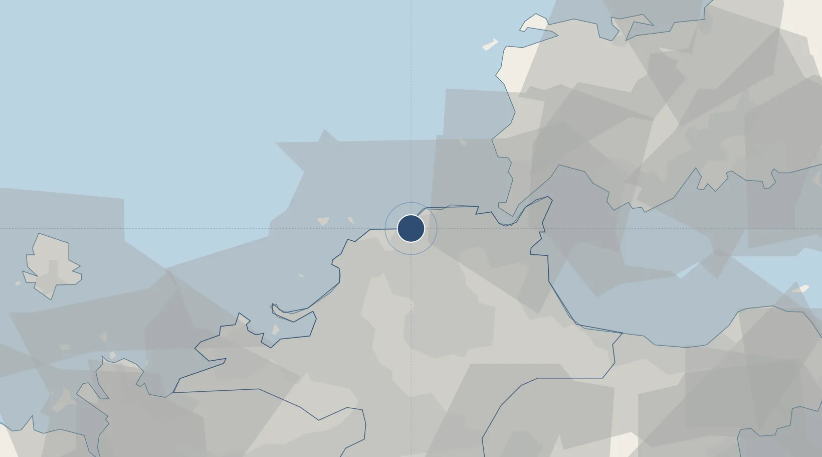
33.8831°, 130.6530°
5,380 ft
Longest runway
1
Runways
98 ft
Elevation
Runway & Layout

Radio Frequencies
TWR
126.2 MHz
GND
27.58 MHz
ACC
119.65 MHz
FUKUOKA CON
GCA
134.1 MHz
Navaids
AHT TACAN Ashiya 108.60 MHz
Runways · 1
| Runway | Dimensions | Surface | True heading | Lit |
|---|---|---|---|---|
| 12/30 | 5,380 × 150ft | Asphalt | 116° | ✓ |
Airport Specifications
ICAO code
RJFA
Airport class
Medium airport
Scheduled service
No
Runway surface
Asphalt
Served city
Ashiya
Location
Nearby Logistics Neighbours
Airports
- 1Kitakyushu Airport36 km
- 2Fukuoka Airport38 km
- 3JASDF Tsuiki Air Base42 km
- 4Yamaguchi Ube Airport58 km
- 5Iki Airport82 km
Cities
- 1Yawata/Kitakyushu14 km
- 2Hibikishinko14 km
- 3Wakamatsu/Kitakyushu15 km
- 4Tobata/Kitakyushu17 km
- 5Kitakyushu18 km
Ports
- 1Yahata15 km
- 2Wakamatsu Ko15 km
- 3Tobata16 km
- 4Hibikinada18 km
- 5Kokura Ko21 km
DatabookThe Record of Consolidated Knowledge
Japan beyond logistics?