Channel & Berth Profile
Pilotage, Tugs & Services
Pilotage compulsoryYES
Pilotage availableYES
Pilotage advisableYES
Local assistanceYES
Tug assistanceYES
Salvage tugsNO
Shore powerYES
Potable waterYES
Diesel bunkersYES
Facilities & Capabilities
Container—
Ro-Ro—
Liquid bulk—
Dry bulk—
Oil terminal—
Break bulk—
Dry dockNO
RepairsNO
BunkeringYES
Rail linkYES
Dangerous cargo—
ISPS security—
Harbour Specifications
Harbour size
Small
Harbour type
Coastal (Breakwater)
Shelter
Good
Water body
Korea Strait; North Pacific Ocean
Tidal range
2 m
Overhead limit
Yes
Pilotage
Yes
Liner Connectivity
21.5
PLSCI
Port Liner Shipping Connectivity Index for Kokura Ko, as published by UNCTAD for the latest available quarter. Higher values indicate stronger scheduled liner-shipping integration.
Shown relative to the highest per-port PLSCI in the dataset (1,657.9).
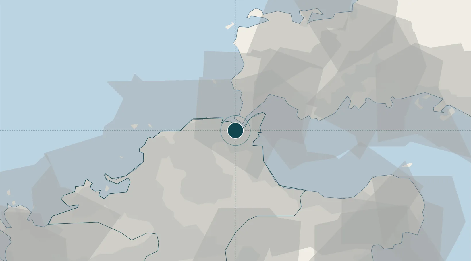
Location
Nearby Logistics Neighbours
Ports
- 1Wakamatsu Ko6 km
- 2Yahata6 km
- 3Tobata7 km
- 4Hibikinada7 km
- 5Shimonoseki7 km
Cities
- 1Kanmon4 km
- 2Tobata/Kitakyushu5 km
- 3Wakamatsu/Kitakyushu6 km
- 4Kitakyushu7 km
- 5Yawata/Kitakyushu9 km
Airports
- 1Kitakyushu Airport15 km
- 2JASDF Ashiya Air Base21 km
- 3JASDF Tsuiki Air Base26 km
- 4Yamaguchi Ube Airport37 km
- 5Fukuoka Airport52 km
Trade Zones
- 1Higashi Kyushu Medical Valley Concept Special Zone50 km
- 2Green Asia International Strategic Comprehensive Special Zone53 km
- 3Kyushu Asia Tourism Island Comprehensive Special Zone56 km
- 4Fukuoka City Strategic Special Zone56 km
- 5Yamaguchi Next-Generation Agricultural Production Structure Establishment Special Zone98 km
DatabookThe Record of Consolidated Knowledge
Japan beyond logistics?