UN/LOCODE hub · Japan
JPYOK
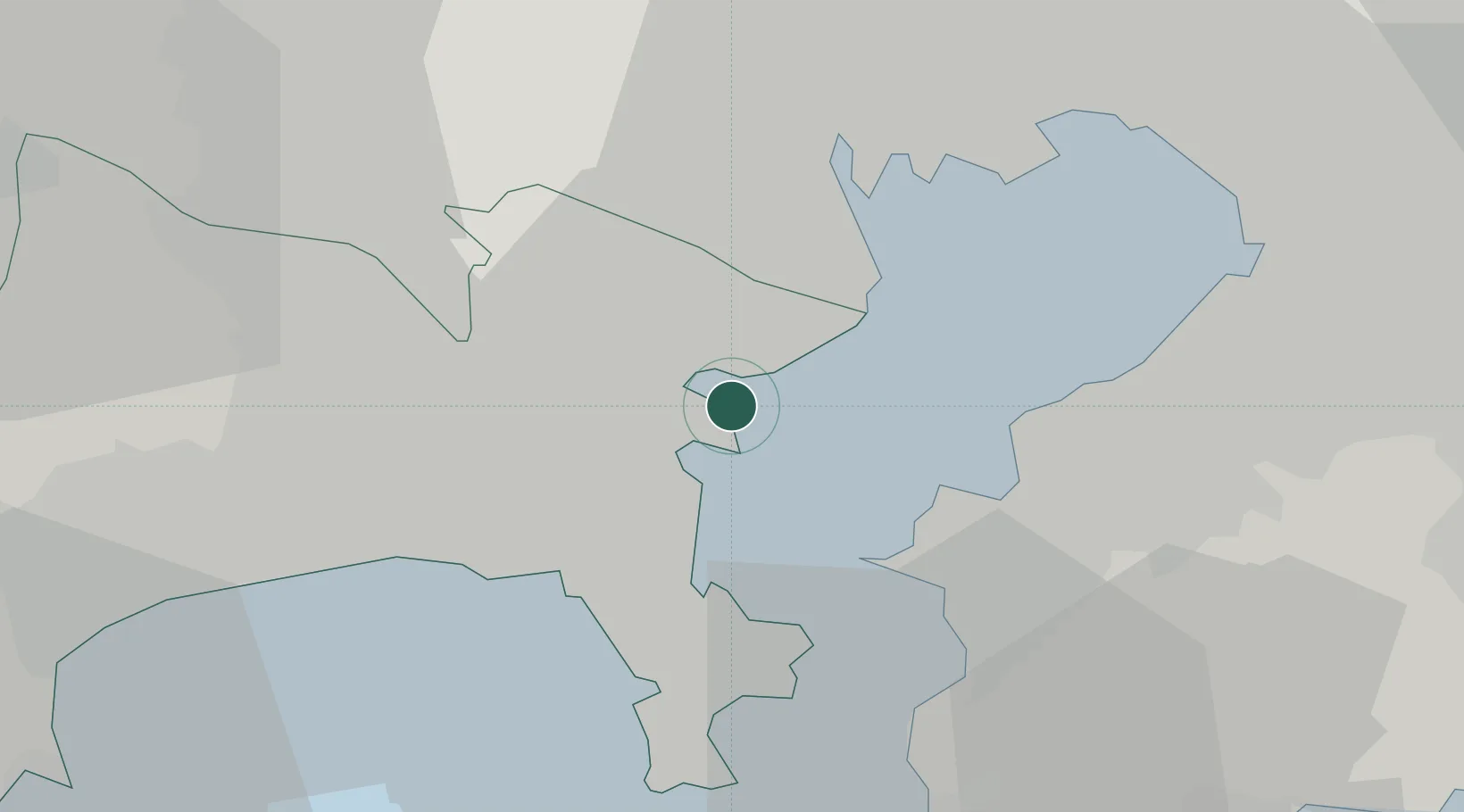
Yokohama
35.4384°, 139.6802°
3,777,491
Population
5
Transport functions
6
Container terminals
Transport Functions
Port
Rail
Road
Airport
Postal
Hub Profile
Place type
Regional capital
Region
Kanagawa
Population
3,777,491
Time zone
Asia/Tokyo
Elevation
21 m
Logistics facilities
16
Container terminals
6
Location
Nearby Logistics Neighbours
Cities
- 1Yamashitacho3 km
- 2Naka-Ku, Kanagawa4 km
- 3Tsurumi-Ku7 km
- 4Kawasaki9 km
- 5Asahimachi11 km
Ports
- 1Kawasaki Ko10 km
- 2Yokosuka Ko17 km
- 3Kisarazu Ko20 km
- 4Uraga Ko23 km
- 5Tokyo Ko26 km
Airports
Trade Zones
DatabookThe Record of Consolidated Knowledge
Japan beyond logistics?