Transport Functions
Port
Road
Hub Profile
Place type
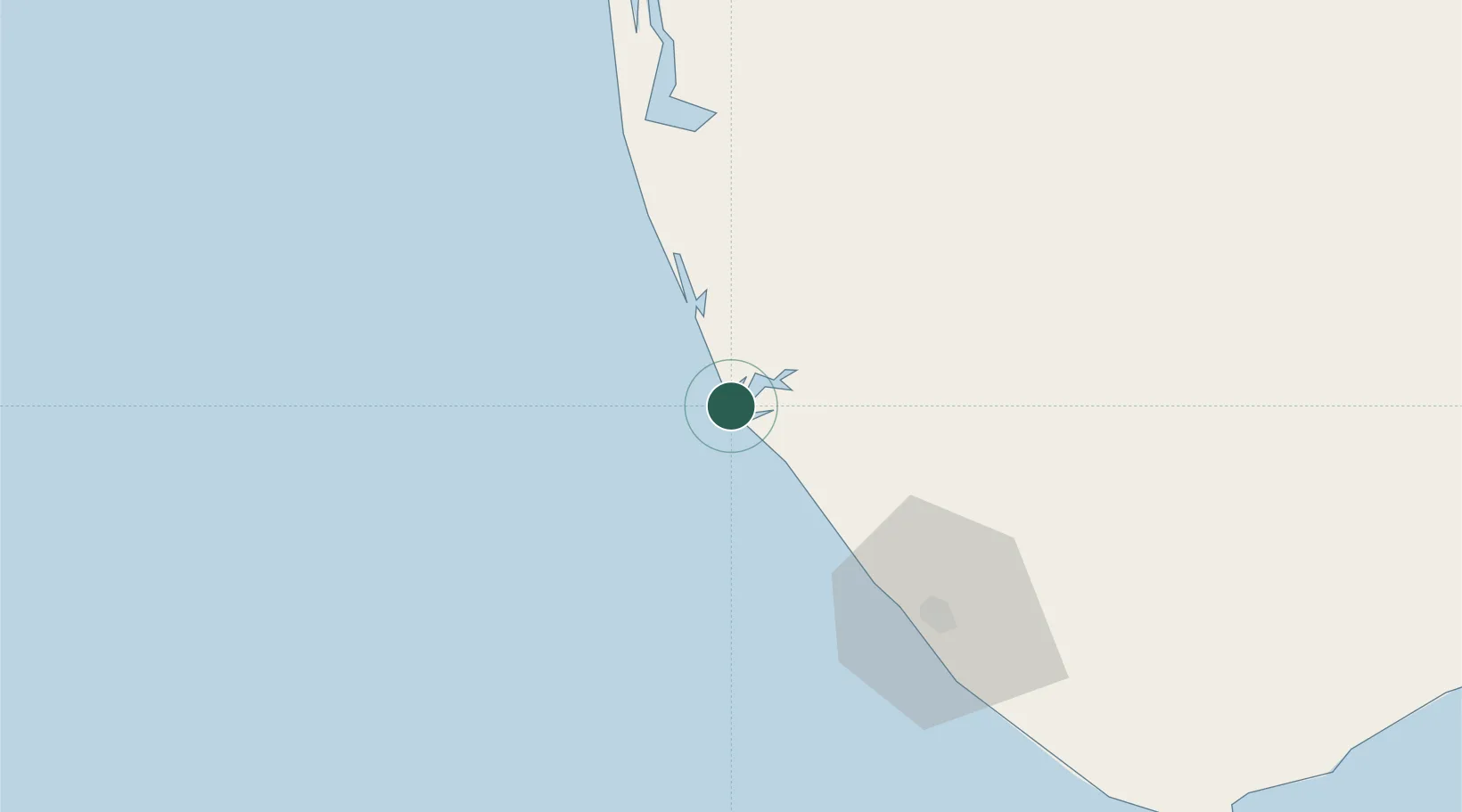
Populated place
Region
Kerala
Time zone
Asia/Kolkata
Elevation
10 m
Location
Nearby Logistics Neighbours
Cities
- 1Chengannur46 km
- 2Kinfraa-SEZ/Thiruvananthapuram65 km
- 3Alleppey66 km
- 4Kottayam72 km
- 5Vizhinjam80 km
Ports
- 1Quilon (Kollam)9 km
- 2Trivandrum68 km
- 3Kochi (Cochin)120 km
- 4Tuticorin180 km
- 5Beypore261 km
Airports
- 1Thiruvananthapuram International Airport66 km
- 2Cochin International Airport136 km
- 3Tuticorin Airport166 km
- 4Madurai Airport198 km
- 5Coimbatore International Airport240 km
DatabookThe Record of Consolidated Knowledge
India beyond logistics?