Transport Functions
Multimodal
Hub Profile
Place type
Populated place
Region
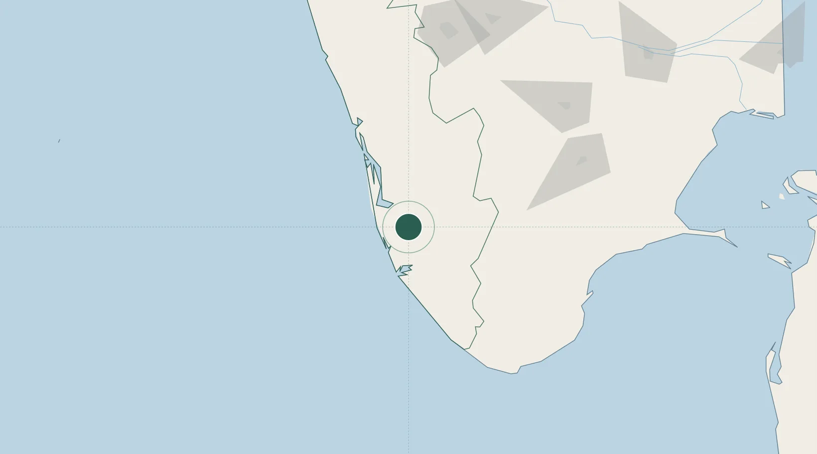
Kerala
Population
25,043
Time zone
Asia/Kolkata
Elevation
14 m
Location
Nearby Logistics Neighbours
Cities
- 1Kottayam31 km
- 2Alleppey39 km
- 3Nindakara46 km
- 4Shertallai52 km
- 5Thoppumpady79 km
Ports
- 1Quilon (Kollam)52 km
- 2Kochi (Cochin)83 km
- 3Trivandrum101 km
- 4Tuticorin179 km
- 5Beypore223 km
Airports
- 1Cochin International Airport94 km
- 2Thiruvananthapuram International Airport100 km
- 3Tuticorin Airport167 km
- 4Madurai Airport170 km
- 5Coimbatore International Airport194 km
Trade Zones
DatabookThe Record of Consolidated Knowledge
India beyond logistics?