Transport Functions
Port
Road
Hub Profile
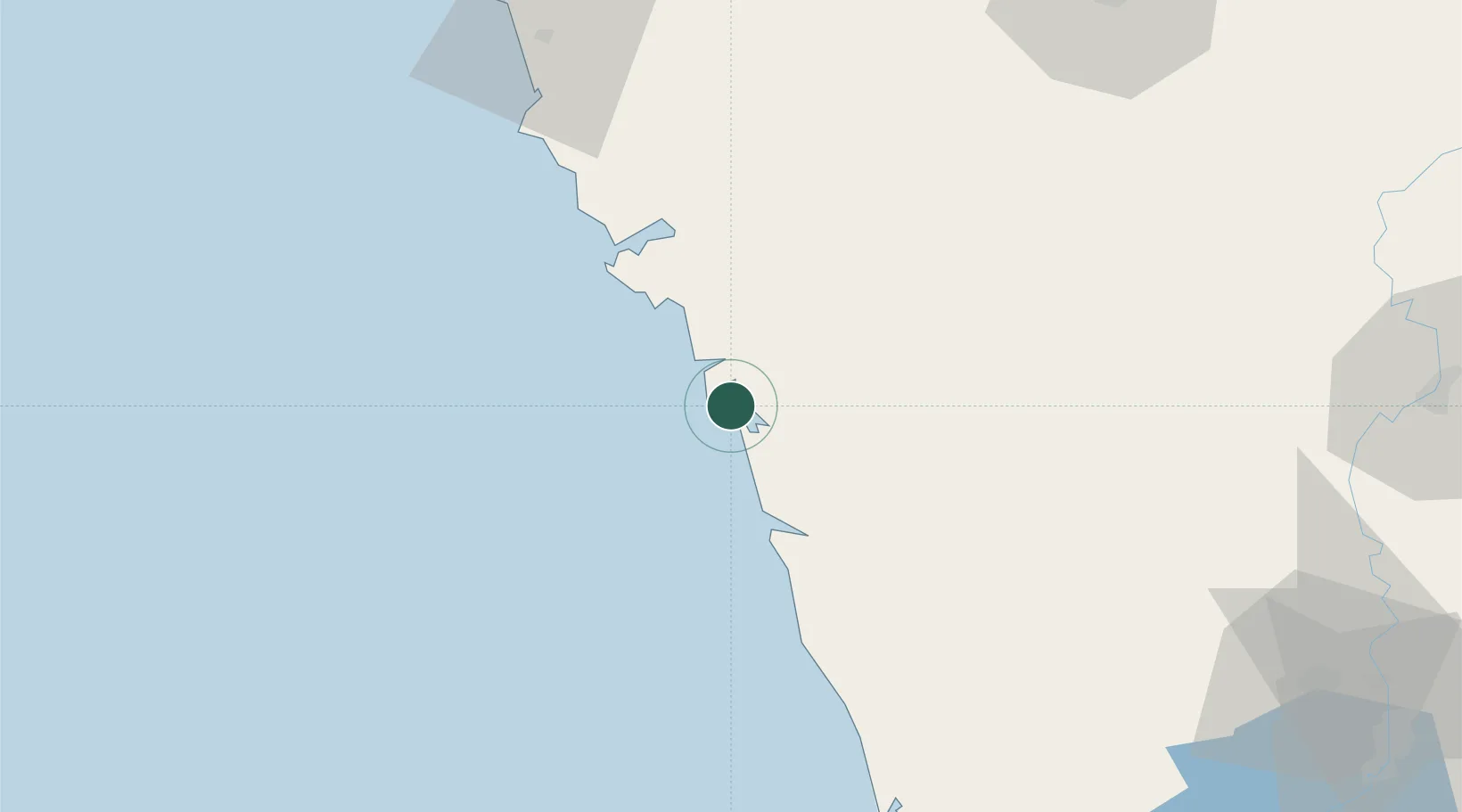
Place type
Populated place
Region
Karnataka
Time zone
Asia/Kolkata
Elevation
8 m
Location
Nearby Logistics Neighbours
Cities
- 1New Mangalore6 km
- 2Madgaon78 km
- 3Balli79 km
- 4Kanara91 km
- 5Verna104 km
Ports
- 1Belekeri22 km
- 2Karwar42 km
- 3Marmagao117 km
- 4Panaji123 km
- 5New Mangalore185 km
Airports
- 1Goa Dabolim International Airport111 km
- 2Hubballi Airport123 km
- 3Manohar International Airport146 km
- 4Belagavi Airport152 km
- 5Rashtrakavi Kuvempu Airport155 km
Trade Zones
DatabookThe Record of Consolidated Knowledge
India beyond logistics?