Transport Functions
Rail
Road
Multimodal
Hub Profile
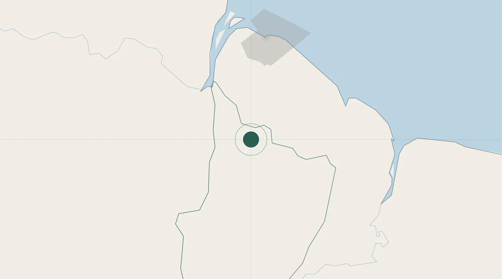
Place type
Urban district
Region
Upper Demerara-Berbice
Time zone
America/Guyana
Elevation
9 m
Location
Nearby Logistics Neighbours
Cities
- 1Linden0 km
- 2Agricola Village54 km
- 3Bartica76 km
- 4Rosignol89 km
- 5Georgetown90 km
Ports
- 1Linden2 km
- 2New Amsterdam89 km
- 3Georgetown94 km
- 4Nieuw Nickerie142 km
- 5Paramaribo345 km
Airports
- 1Cheddi Jagan International Airport56 km
- 2Eugene F. Correia International Airport92 km
- 3Kaieteur Airport162 km
- 4Wageningen Airstrip179 km
- 5Lethem Airport336 km
Trade Zones
DatabookThe Record of Consolidated Knowledge
Guyana beyond logistics?