Large airport · Guyana
Cheddi Jagan International AirportSYCJ
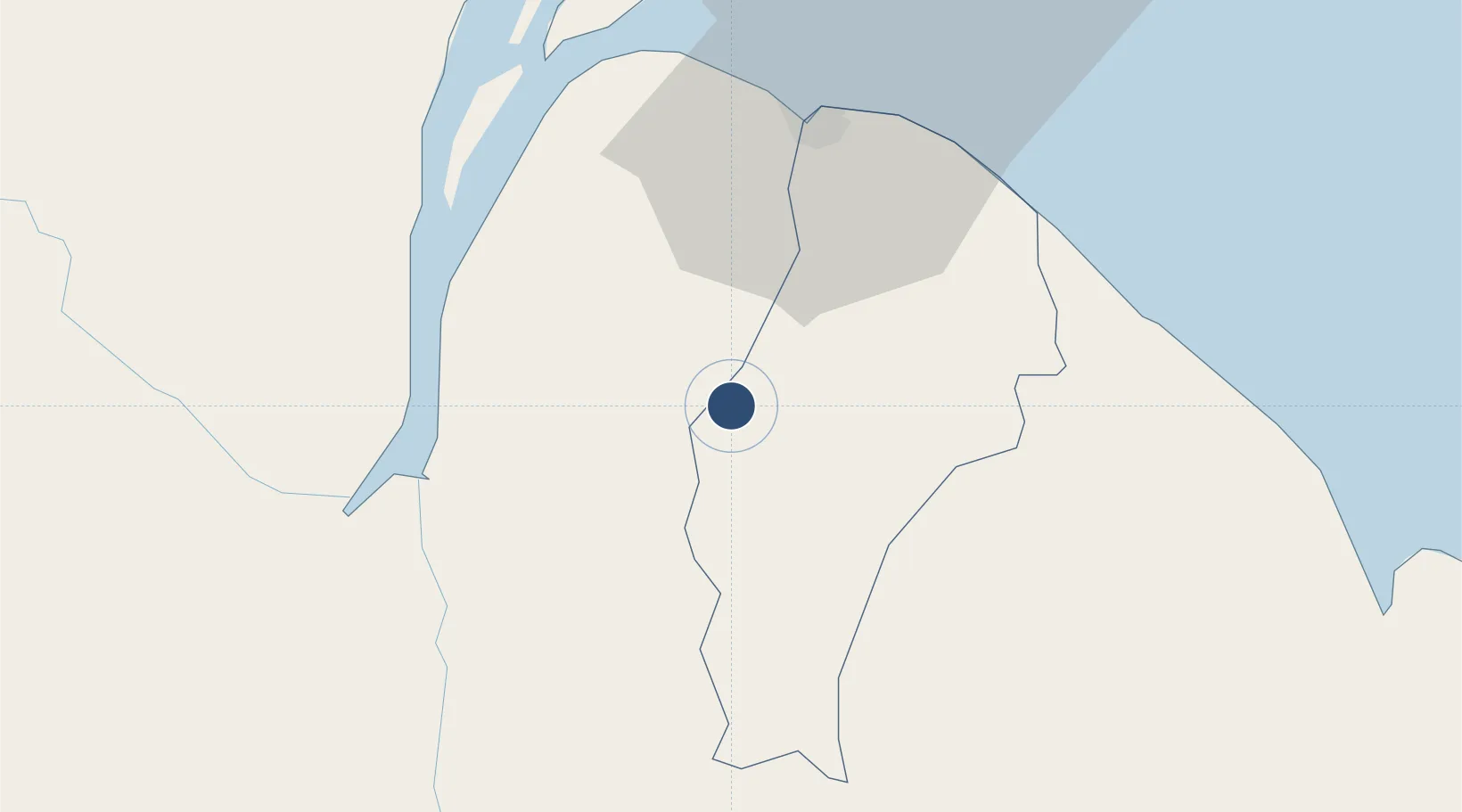
6.4985°, -58.2541°
11,023 ft
Longest runway
2
Runways
95 ft
Elevation
Runway & Layout

Radio Frequencies
TWR
118.3 MHz
TIMEHRI TWR
GND
121.7 MHz
APP
119.4 MHz
TIMEHRI APP
Navaids
TIM VOR-DME Timehri 113.50 MHz
TIM NDB Timehri 356 kHz
UIT NDB Timehri 305 kHz
Runways · 2
| Runway | Dimensions | Surface | True heading | Lit |
|---|---|---|---|---|
| 06/24 | 11,023 × 148ft | Asphalt | 045° | ✓ |
| 11/29 | 5,002 × 148ft | Asphalt | 090° | ✓ |
Airport Specifications
IATA code
GEO
ICAO code
SYCJ
Airport class
Large airport
Scheduled service
Yes
Runway surface
Asphalt
Served city
Georgetown
Location
Nearby Logistics Neighbours
Airports
- 1Eugene F. Correia International Airport38 km
- 2Wageningen Airstrip189 km
- 3Kaieteur Airport201 km
- 4Eduard Alexander Gummels Airport346 km
- 5Zorg en Hoop Airport347 km
Cities
- 1Agricola Village10 km
- 2Georgetown35 km
- 3Everton47 km
- 4Linden56 km
- 5Mackenzie56 km
Ports
- 1Georgetown39 km
- 2Linden56 km
- 3New Amsterdam86 km
- 4Nieuw Nickerie152 km
- 5Paramaribo349 km
Trade Zones
DatabookThe Record of Consolidated Knowledge
Guyana beyond logistics?