Transport Functions
Port
Airport
Postal
Hub Profile
Place type
National capital
Region
Demerara-Mahaica
Population
235,017
Time zone
America/Guyana
Elevation
3 m
Logistics facilities
9
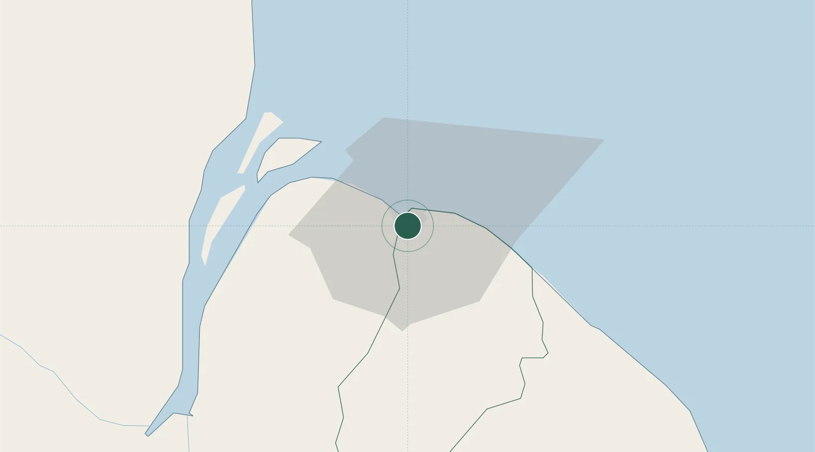
Location
Nearby Logistics Neighbours
Cities
- 1Everton23 km
- 2Agricola Village37 km
- 3Adventure48 km
- 4Linden90 km
- 5Mackenzie90 km
Ports
- 1Linden90 km
- 2New Amsterdam94 km
- 3Nieuw Nickerie159 km
- 4Paramaribo348 km
- 5Paranam363 km
Airports
Trade Zones
DatabookThe Record of Consolidated Knowledge
Guyana beyond logistics?