Transport Functions
Multimodal
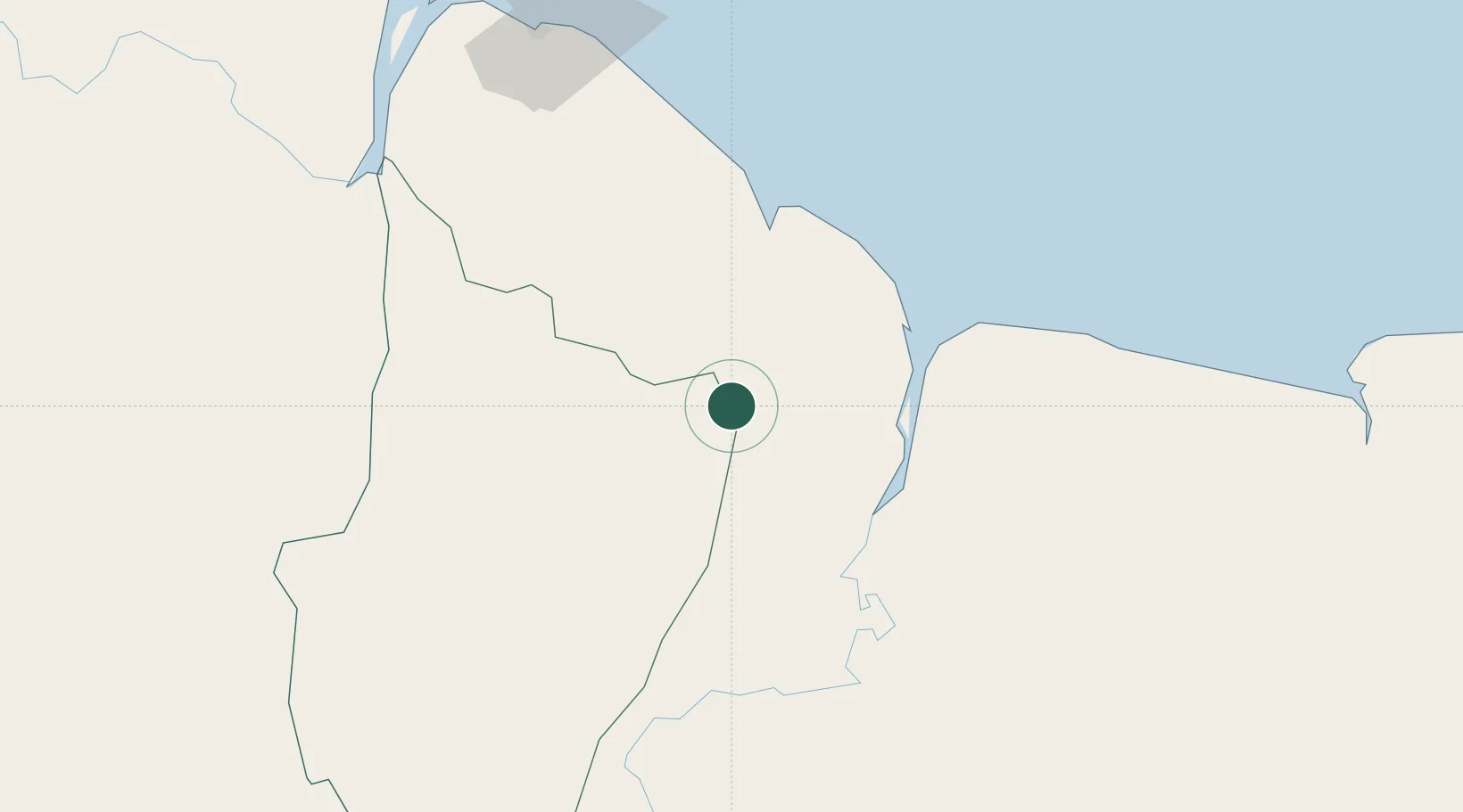
Hub Profile
Place type
Populated place
Region
East Berbice-Corentyne
Time zone
America/Guyana
Elevation
17 m
Location
Nearby Logistics Neighbours
Cities
- 1Rosignol57 km
- 2Linden76 km
- 3Mackenzie76 km
- 4Agricola Village96 km
- 5Georgetown127 km
Ports
- 1New Amsterdam54 km
- 2Nieuw Nickerie73 km
- 3Linden78 km
- 4Georgetown131 km
- 5Paramaribo273 km
Airports
- 1Cheddi Jagan International Airport105 km
- 2Wageningen Airstrip106 km
- 3Eugene F. Correia International Airport125 km
- 4Kaieteur Airport216 km
- 5Zorg en Hoop Airport270 km
Trade Zones
- 1Coldingen Industrial Estate119 km
- 2Eccles Industrial Estate125 km
- 3Ruimveldt Industrial Estate127 km
- 4Lethem Industrial Estate359 km
- 5Free Port of Santa Elena de Uairén407 km
DatabookThe Record of Consolidated Knowledge
Guyana beyond logistics?