Transport Functions
Multimodal
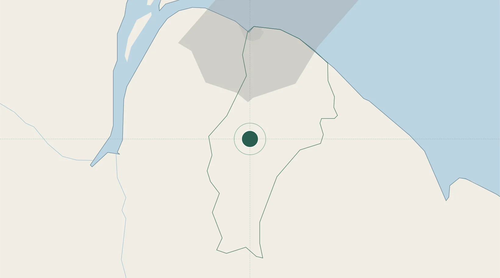
Hub Profile
Place type
Urban district
Region
Demerara-Mahaica
Time zone
America/Guyana
Elevation
24 m
Location
Nearby Logistics Neighbours
Cities
- 1Georgetown37 km
- 2Everton53 km
- 3Linden54 km
- 4Mackenzie54 km
- 5Rosignol73 km
Ports
- 1Georgetown41 km
- 2Linden54 km
- 3New Amsterdam76 km
- 4Nieuw Nickerie141 km
- 5Paramaribo339 km
Airports
Trade Zones
DatabookThe Record of Consolidated Knowledge
Guyana beyond logistics?