Medium airport · Guyana

Kaieteur AirportSYKA
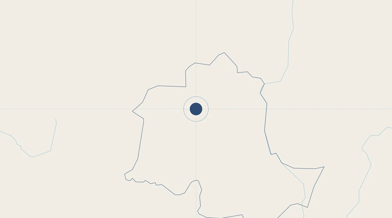
5.1773°, -59.4890°
2,018 ft
Longest runway
1
Runways
1,520 ft
Elevation

Runway & Layout

Kaieteur Airport runway & taxiway layout
Runway & taxiway layout — OpenStreetMap (ODbL) / OurAirports

Runways · 1

RunwayDimensions SurfaceTrue headingLit
07/25 2,018 × 98ft asp
OurAirports

Airport Specifications

IATA code
KAI
OurAirports
ICAO code
SYKA
OurAirports
Airport class
Medium airport
OurAirports
Scheduled service
Yes
OurAirports
Runway surface
asp
OurAirports
Served city
Kaieteur Falls
OurAirports

Location

Location of SYKA
Natural Earth 10m (public domain) · Potaro-Siparuni · SYKA · 5.18, -59.49GoogleOSMYandex

Nearby Logistics Neighbours

Airports
  1. 1Santa Elena de Uairén Airport196 km
  2. 2Cheddi Jagan International Airport201 km
  3. 3Lethem Airport203 km
  4. 4Eugene F. Correia International Airport237 km
  5. 5Atlas Brasil Cantanhede International Airport292 km
Nearest neighbours — logibook spatial index (haversine) over the source coordinates
Cities
  1. 1Linden162 km
  2. 2Mackenzie162 km
  3. 3Santa Elena de Uairén193 km
  4. 4Pacaraima199 km
  5. 5Agricola Village205 km
Nearest neighbours — logibook spatial index (haversine) over the source coordinates
Ports
  1. 1Linden160 km
  2. 2Georgetown235 km
  3. 3New Amsterdam249 km
  4. 4Nieuw Nickerie289 km
  5. 5Paramaribo484 km
Nearest neighbours — logibook spatial index (haversine) over the source coordinates
Trade Zones
  1. 1Free Port of Santa Elena de Uairén191 km
  2. 2Lethem Industrial Estate202 km
  3. 3Eccles Industrial Estate230 km
  4. 4Ruimveldt Industrial Estate232 km
  5. 5Coldingen Industrial Estate242 km
Nearest neighbours — logibook spatial index (haversine) over the source coordinates
DatabookThe Record of Consolidated Knowledge
Guyana beyond logistics?
Browse databook

All Sources

AirportsOurAirports
Public domain
Portsthe NGA World Port Index
Public domain (US gov)
LocationsUN/LOCODE
UN/LOCODE — free
Trade Zonesthe World Bank SEZ database
CC BY 4.0
Trade ZonesOpen Zone Map
CC BY
InfrastructureOpenStreetMap
ODbL 1.0
← Guyana airports