Runway & Layout

Airport Specifications
IATA code
AGI
ICAO code
SMWA
Airport class
Small airport
Scheduled service
Yes
Served city
Wageningen
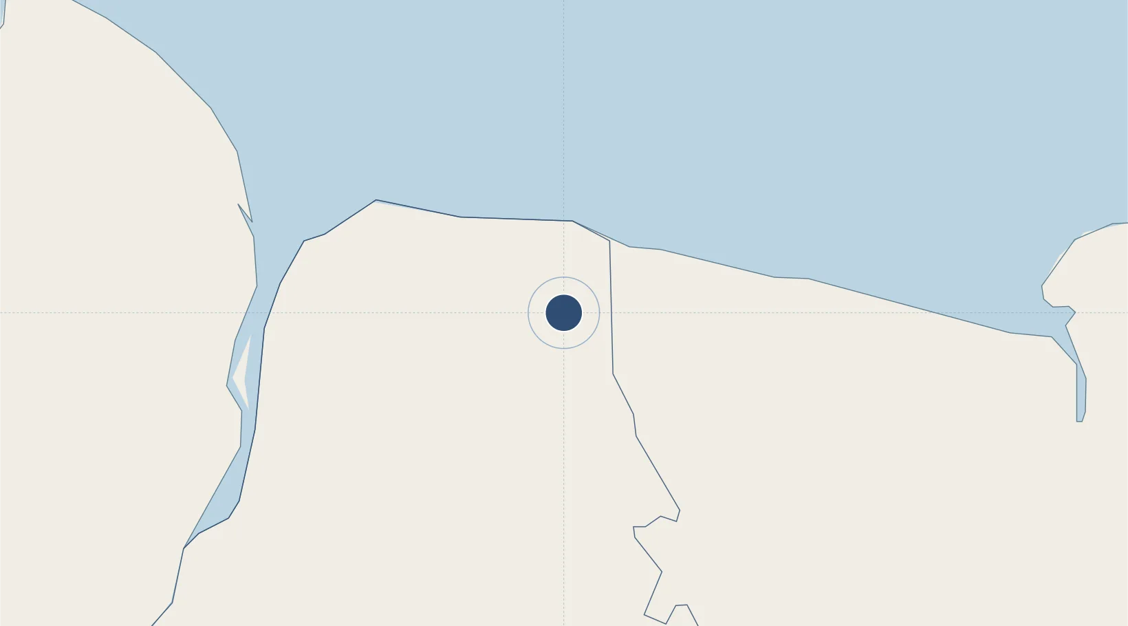
Location
Nearby Logistics Neighbours
Airports
Cities
- 1Bartica106 km
- 2Rosignol107 km
- 3Kwatta158 km
- 4Lelydorp160 km
- 5Paramaribo167 km
Ports
- 1Nieuw Nickerie38 km
- 2New Amsterdam104 km
- 3Paramaribo167 km
- 4Paranam176 km
- 5Linden181 km
Trade Zones
- 1Coldingen Industrial Estate181 km
- 2Eccles Industrial Estate195 km
- 3Ruimveldt Industrial Estate196 km
- 4Lethem Industrial Estate441 km
- 5Free Port of Santa Elena de Uairén510 km
DatabookThe Record of Consolidated Knowledge
Suriname beyond logistics?