Transport Functions
Port
Hub Profile
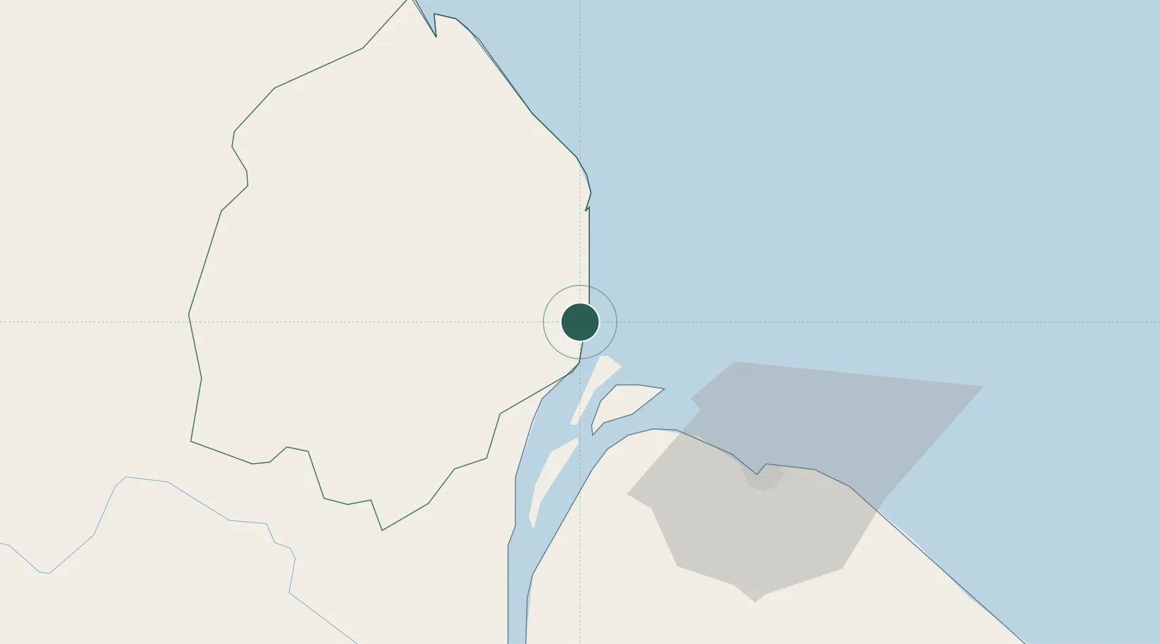
Place type
Populated place
Region
Pomeroon-Supenaam
Time zone
America/Guyana
Elevation
1 m
Location
Nearby Logistics Neighbours
Cities
- 1Everton25 km
- 2Georgetown48 km
- 3Agricola Village77 km
- 4Linden123 km
- 5Mackenzie123 km
Ports
- 1Georgetown45 km
- 2Linden122 km
- 3New Amsterdam141 km
- 4Nieuw Nickerie207 km
- 5Paramaribo392 km
Airports
- 1Eugene F. Correia International Airport52 km
- 2Cheddi Jagan International Airport70 km
- 3Kaieteur Airport239 km
- 4Wageningen Airstrip243 km
- 5Tumeremo Airport337 km
Trade Zones
DatabookThe Record of Consolidated Knowledge
Guyana beyond logistics?