Transport Functions
Port
Road
Multimodal
Hub Profile
Region
DE
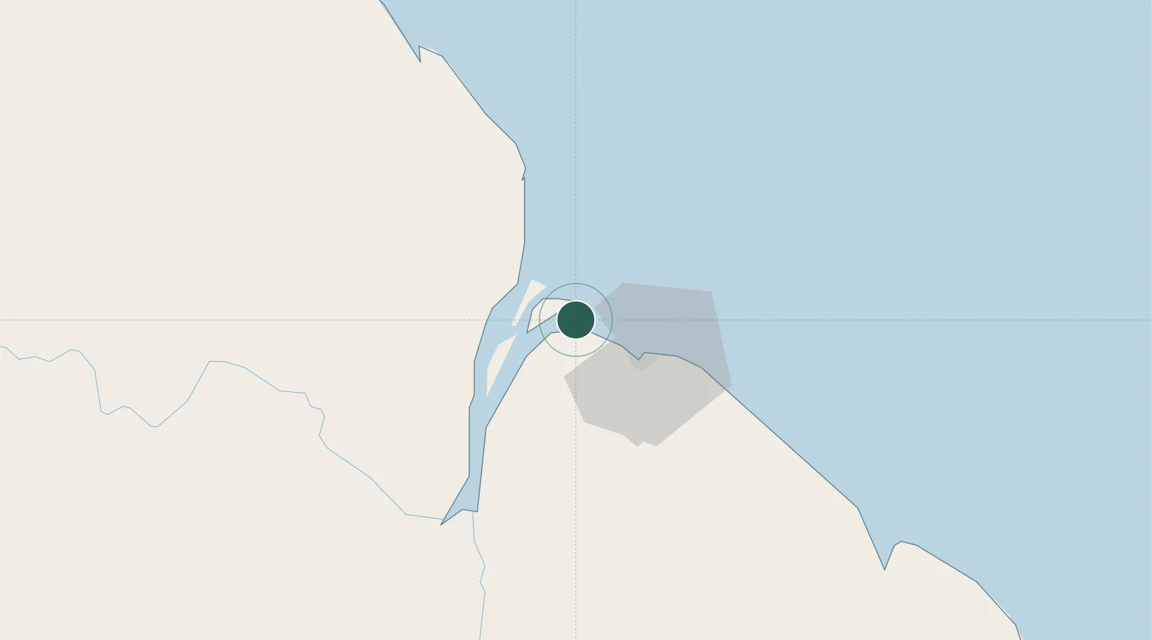
Location
Nearby Logistics Neighbours
Cities
- 1Georgetown23 km
- 2Adventure25 km
- 3Agricola Village53 km
- 4Linden102 km
- 5Mackenzie102 km
Ports
- 1Georgetown21 km
- 2Linden102 km
- 3New Amsterdam117 km
- 4Nieuw Nickerie182 km
- 5Paramaribo370 km
Airports
- 1Eugene F. Correia International Airport28 km
- 2Cheddi Jagan International Airport47 km
- 3Wageningen Airstrip219 km
- 4Kaieteur Airport232 km
- 5Tumeremo Airport355 km
Trade Zones
DatabookThe Record of Consolidated Knowledge
Guyana beyond logistics?