Transport Functions
Multimodal
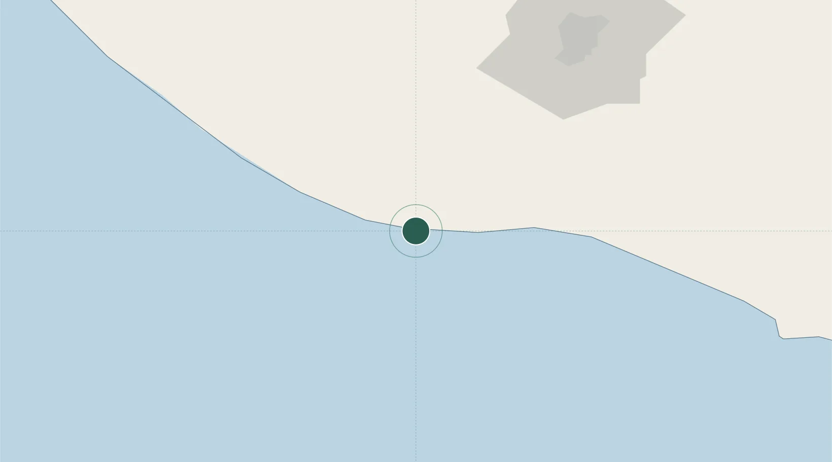
Hub Profile
Place type
Populated place
Region
Escuintla
Time zone
America/Guatemala
Elevation
5 m
Location
Nearby Logistics Neighbours
Cities
- 1San Jose36 km
- 2Obero37 km
- 3Puerto Quetzal37 km
- 4Masagua45 km
- 5Santa Lucía Cotzumalguapa48 km
Ports
- 1Puerto Quetzal36 km
- 2Acajutla142 km
- 3Puerto Madero167 km
- 4Santo Tomas De Castilla335 km
- 5Puerto Barrios339 km
Airports
- 1San José Airport32 km
- 2Retalhuleu Airport91 km
- 3La Aurora International Airport99 km
- 4Quezaltenango Airport113 km
- 5Huehuetenango Airport161 km
Trade Zones
- 1Grupo Zeta Free Zone81 km
- 2Zona Franca Cropa100 km
- 3Zona Franca 10156 km
- 4Special Economic Zone of Puerto Chiapas163 km
- 5Zona Franca Santa Ana172 km
DatabookThe Record of Consolidated Knowledge
Guatemala beyond logistics?