Medium airport · Guatemala
Retalhuleu AirportMGRT
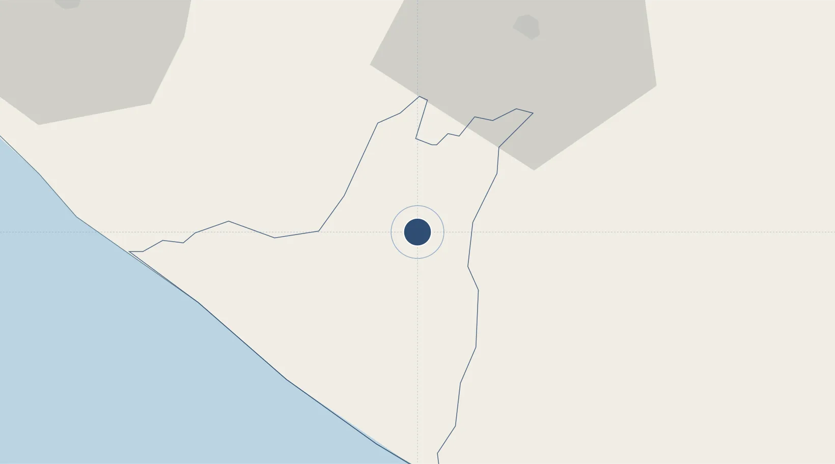
14.5214°, -91.6970°
5,065 ft
Longest runway
1
Runways
656 ft
Elevation
Runway & Layout

Radio Frequencies
TWR
118.8 MHz
Navaids
REU NDB Retalhuleu 340 kHz
Runways · 1
| Runway | Dimensions | Surface | True heading | Lit |
|---|---|---|---|---|
| 04/22 | 5,065 × 100ft | Asphalt | 050° | — |
Airport Specifications
IATA code
RER
ICAO code
MGRT
Airport class
Medium airport
Scheduled service
Yes
Runway surface
Asphalt
Served city
Retalhuleu
Location
Nearby Logistics Neighbours
Airports
- 1Quezaltenango Airport44 km
- 2Tapachula International Airport79 km
- 3Huehuetenango Airport91 km
- 4San José Airport113 km
- 5La Aurora International Airport126 km
Cities
- 1Coatepeque27 km
- 2San Antonio Suchitepéquez30 km
- 3Nahualate32 km
- 4Champerico34 km
- 5Río Bravo43 km
Ports
- 1Puerto Madero83 km
- 2Puerto Quetzal118 km
- 3Acajutla223 km
- 4Santo Tomas De Castilla356 km
- 5Puerto Barrios359 km
Trade Zones
- 1Special Economic Zone of Puerto Chiapas79 km
- 2Grupo Zeta Free Zone114 km
- 3Zona Franca Cropa126 km
- 4Zona Franca 10224 km
- 5Zona Franca Santa Ana239 km
DatabookThe Record of Consolidated Knowledge
Guatemala beyond logistics?