UN/LOCODE hub · Guatemala
GTPRQ
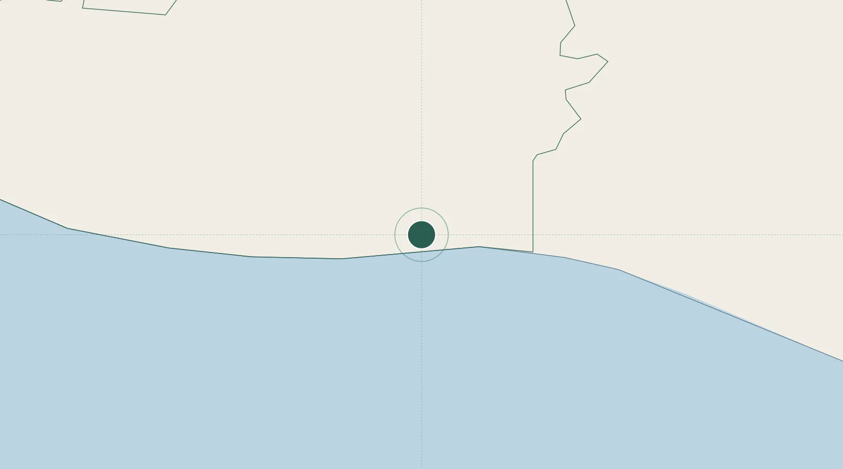
Puerto Quetzal
13.9467°, -90.7919°
1
Transport functions
2
Container terminals
Transport Functions
Port
Hub Profile
Logistics facilities
9
Container terminals
2
Location
Nearby Logistics Neighbours
Cities
- 1San Jose3 km
- 2Obero10 km
- 3Masagua29 km
- 4Sipacate37 km
- 5Santa Lucía Cotzumalguapa49 km
Ports
- 1Acajutla108 km
- 2Puerto Madero197 km
- 3Santo Tomas De Castilla304 km
- 4Puerto Barrios308 km
- 5La Union327 km
Airports
- 1San José Airport5 km
- 2La Aurora International Airport76 km
- 3Retalhuleu Airport117 km
- 4Quezaltenango Airport128 km
- 5Huehuetenango Airport171 km
Trade Zones
- 1Grupo Zeta Free Zone60 km
- 2Zona Franca Cropa78 km
- 3Zona Franca 10119 km
- 4Zona Franca Santa Ana135 km
- 5American Park Free Zone149 km
DatabookThe Record of Consolidated Knowledge
Guatemala beyond logistics?