Transport Functions
Port
Road
Postal
Hub Profile
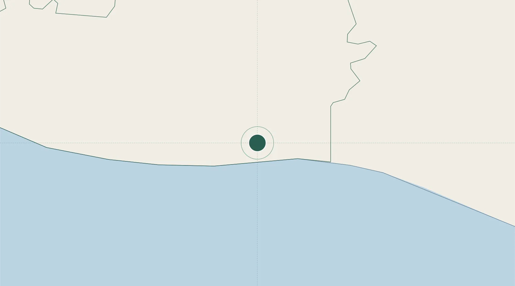
Place type
Populated place
Region
Guatemala
Time zone
America/Guatemala
Elevation
1,373 m
Logistics facilities
1
Location
Nearby Logistics Neighbours
Cities
- 1Puerto Quetzal3 km
- 2Obero8 km
- 3Masagua26 km
- 4Sipacate36 km
- 5Santa Lucía Cotzumalguapa47 km
Ports
- 1Puerto Quetzal6 km
- 2Acajutla110 km
- 3Puerto Madero195 km
- 4Santo Tomas De Castilla304 km
- 5Puerto Barrios308 km
Airports
- 1San José Airport5 km
- 2La Aurora International Airport75 km
- 3Retalhuleu Airport114 km
- 4Quezaltenango Airport125 km
- 5Huehuetenango Airport168 km
Trade Zones
- 1Grupo Zeta Free Zone58 km
- 2Zona Franca Cropa76 km
- 3Zona Franca 10120 km
- 4Zona Franca Santa Ana137 km
- 5American Park Free Zone151 km
DatabookThe Record of Consolidated Knowledge
Guatemala beyond logistics?