Free Trade Zone · Guatemala
Zona Franca Cropa Active
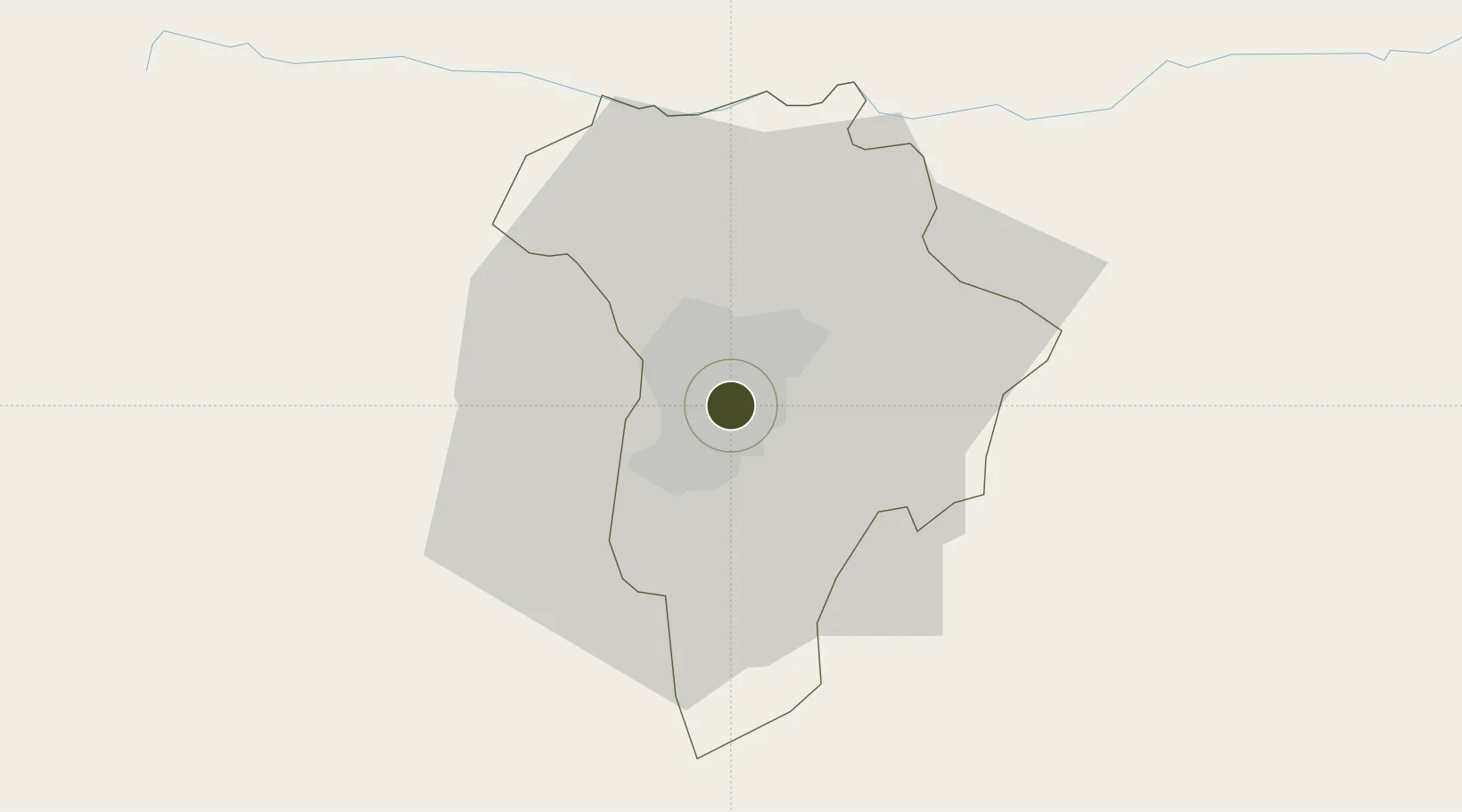
14.6008°, -90.5321°
7 ha
Zone area
81.4 km
Nearest port
2.1 km
Nearest airport
Gateway access
Zone profile
Zone type
Free Trade Zone
Region
Guatemala
Status
Active
Management
Private
Operator
CROPA SA
Legal framework
Law of Industrial and Marketing Free Zones
Location
Nearby Logistics Neighbours
Ports
- 1Puerto Quetzal81 km
- 2Acajutla134 km
- 3Puerto Madero207 km
- 4Santo Tomas De Castilla239 km
- 5Puerto Barrios243 km
Airports
- 1La Aurora International Airport2 km
- 2San José Airport81 km
- 3Coban Airport98 km
- 4Quezaltenango Airport108 km
- 5Retalhuleu Airport126 km
Cities
- 1Boca del Monte6 km
- 2Villa Nueva10 km
- 3San Miguel Petapa12 km
- 4Villa Canales15 km
- 5Masagua55 km
Trade Zones
- 1Grupo Zeta Free Zone19 km
- 2Zona Franca 10113 km
- 3Zona Franca Santa Ana125 km
- 4American Park Free Zone148 km
- 5Zona Franca Pipil150 km
DatabookThe Record of Consolidated Knowledge
Guatemala beyond logistics?