Seaport · Mexico
Puerto MaderoMXPMD
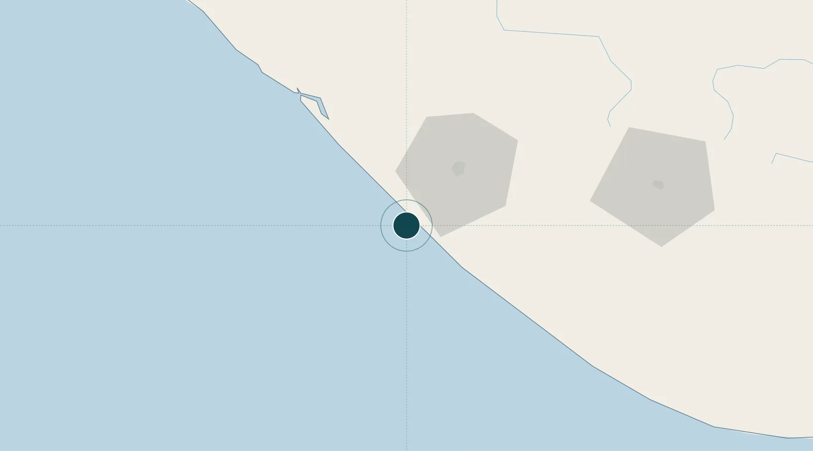
14.7000°, -92.4500°
7.9 m
Channel depth
1
Container terminals
16.3
Port liner connectivity
Channel & Berth Profile
Pilotage, Tugs & Services
Pilotage compulsoryYES
Pilotage availableYES
Tug assistanceYES
Salvage tugsNO
Potable waterYES
Diesel bunkersNO
Garbage disposalYES
Facilities & Capabilities
Container—
Ro-Ro—
Liquid bulk—
Dry bulk—
Oil terminal—
Break bulk—
Dry dockNO
RepairsNO
BunkeringYES
Rail linkYES
Dangerous cargo—
ISPS security—
Harbour Specifications
Harbour size
Very Small
Harbour type
River (Basins)
Shelter
Fair
Water body
North Pacific Ocean
Tidal range
1 m
Overhead limit
Yes
Pilotage
Yes
Liner Connectivity
16.3
PLSCI
Port Liner Shipping Connectivity Index for Puerto Madero, as published by UNCTAD for the latest available quarter. Higher values indicate stronger scheduled liner-shipping integration.
Shown relative to the highest per-port PLSCI in the dataset (1,657.9).
Location
Container Terminals · 1
PUERTO CHIAPAS
PMD
Nearby Logistics Neighbours
Ports
- 1Puerto Quetzal198 km
- 2Acajutla305 km
- 3Salina Cruz337 km
- 4Minatitlan422 km
- 5Dos Bocas Terminal423 km
Cities
- 1Ciudad Tecún Umán33 km
- 2Coatepeque63 km
- 3Champerico73 km
- 4San Antonio Suchitepéquez113 km
- 5Nahualate115 km
Airports
- 1Tapachula International Airport14 km
- 2Retalhuleu Airport83 km
- 3Quezaltenango Airport104 km
- 4Huehuetenango Airport122 km
- 5San José Airport194 km
Trade Zones
- 1Special Economic Zone of Puerto Chiapas4 km
- 2Grupo Zeta Free Zone197 km
- 3Zona Franca Cropa207 km
- 4Zona Franca 10307 km
- 5Zona Franca Santa Ana323 km
DatabookThe Record of Consolidated Knowledge
Mexico beyond logistics?