Runway & Layout

Airport Specifications
IATA code
HUG
ICAO code
MGHT
Airport class
Small airport
Scheduled service
Yes
Served city
Huehuetenango
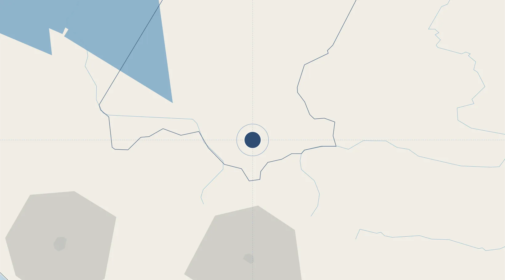
Location
Nearby Logistics Neighbours
Airports
- 1Quezaltenango Airport50 km
- 2Retalhuleu Airport91 km
- 3Tapachula International Airport110 km
- 4Coban Airport119 km
- 5La Aurora International Airport133 km
Cities
- 1Santa Cruz del Quiche51 km
- 2Solola70 km
- 3Coatepeque79 km
- 4San Antonio Suchitepéquez88 km
- 5Nahualate88 km
Ports
- 1Puerto Madero122 km
- 2Puerto Quetzal173 km
- 3Acajutla261 km
- 4Santo Tomas De Castilla313 km
- 5Puerto Barrios315 km
Trade Zones
- 1Special Economic Zone of Puerto Chiapas119 km
- 2Zona Franca Cropa131 km
- 3Grupo Zeta Free Zone133 km
- 4Zona Franca 10245 km
- 5Zona Franca Santa Ana256 km
DatabookThe Record of Consolidated Knowledge
Guatemala beyond logistics?