Transport Functions
Rail
Road
Hub Profile
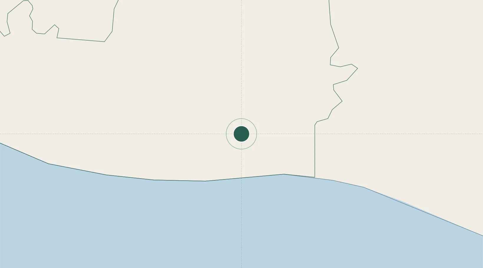
Place type
Populated place
Region
Escuintla
Time zone
America/Guatemala
Elevation
32 m
Location
Nearby Logistics Neighbours
Cities
- 1San Jose8 km
- 2Puerto Quetzal10 km
- 3Masagua19 km
- 4Sipacate37 km
- 5Santa Lucía Cotzumalguapa40 km
Ports
- 1Puerto Quetzal13 km
- 2Acajutla114 km
- 3Puerto Madero191 km
- 4Santo Tomas De Castilla300 km
- 5Puerto Barrios304 km
Airports
- 1San José Airport11 km
- 2La Aurora International Airport69 km
- 3Retalhuleu Airport109 km
- 4Quezaltenango Airport118 km
- 5Huehuetenango Airport161 km
Trade Zones
- 1Grupo Zeta Free Zone51 km
- 2Zona Franca Cropa70 km
- 3Zona Franca 10121 km
- 4Zona Franca Santa Ana138 km
- 5American Park Free Zone153 km
DatabookThe Record of Consolidated Knowledge
Guatemala beyond logistics?