UN/LOCODE hub · Guatemala
GTSLC
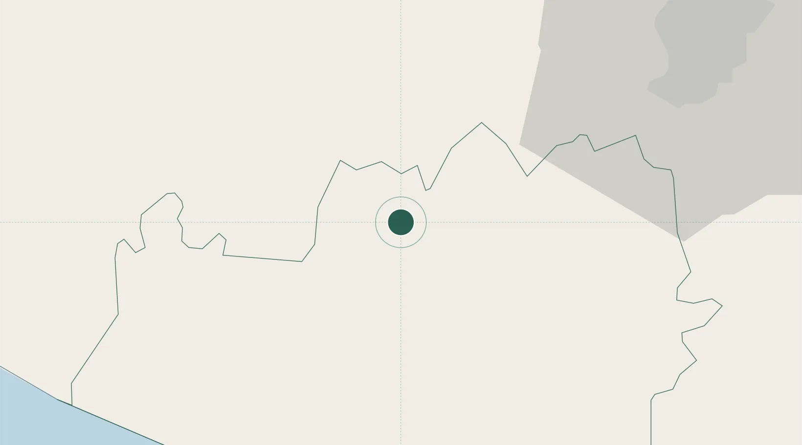
Santa Lucía Cotzumalguapa
14.3333°, -91.0167°
112,780
Population
2
Transport functions
Transport Functions
Rail
Road
Hub Profile
Place type
Provincial seat
Region
Escuintla
Population
112,780
Time zone
America/Guatemala
Elevation
386 m
Location
Nearby Logistics Neighbours
Cities
- 1Patulul19 km
- 2Cocales19 km
- 3Masagua25 km
- 4Santa Bárbara26 km
- 5Río Bravo33 km
Ports
- 1Puerto Quetzal52 km
- 2Acajutla150 km
- 3Puerto Madero160 km
- 4Santo Tomas De Castilla299 km
- 5Puerto Barrios303 km
Airports
- 1San José Airport48 km
- 2La Aurora International Airport60 km
- 3Retalhuleu Airport76 km
- 4Quezaltenango Airport79 km
- 5Huehuetenango Airport121 km
Trade Zones
- 1Grupo Zeta Free Zone43 km
- 2Zona Franca Cropa60 km
- 3Zona Franca 10148 km
- 4Special Economic Zone of Puerto Chiapas155 km
- 5Zona Franca Santa Ana163 km
DatabookThe Record of Consolidated Knowledge
Guatemala beyond logistics?