Transport Functions
Rail
Road
Hub Profile
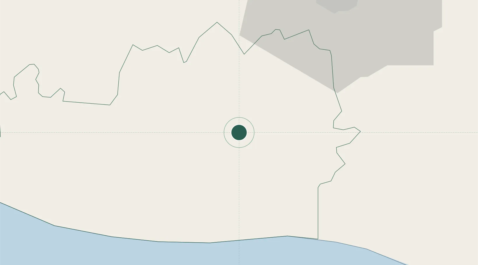
Place type
Provincial seat
Region
Escuintla
Population
45,323
Time zone
America/Guatemala
Elevation
118 m
Location
Nearby Logistics Neighbours
Cities
- 1Obero19 km
- 2Santa Lucía Cotzumalguapa25 km
- 3San Jose26 km
- 4Puerto Quetzal29 km
- 5Patulul43 km
Ports
- 1Puerto Quetzal32 km
- 2Acajutla125 km
- 3Puerto Madero183 km
- 4Santo Tomas De Castilla291 km
- 5Puerto Barrios294 km
Airports
- 1San José Airport29 km
- 2La Aurora International Airport54 km
- 3Retalhuleu Airport100 km
- 4Quezaltenango Airport103 km
- 5Huehuetenango Airport144 km
Trade Zones
- 1Grupo Zeta Free Zone36 km
- 2Zona Franca Cropa55 km
- 3Zona Franca 10125 km
- 4Zona Franca Santa Ana141 km
- 5American Park Free Zone158 km
DatabookThe Record of Consolidated Knowledge
Guatemala beyond logistics?