Medium airport · Argentina
Necochea AirportSAZO
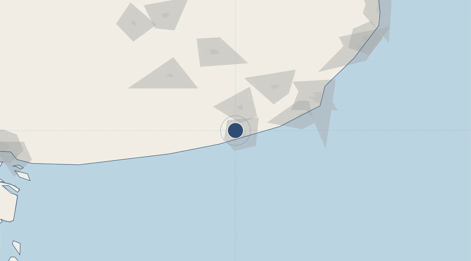
-38.4907°, -58.8163°
4,921 ft
Longest runway
3
Runways
72 ft
Elevation
Runway & Layout

Radio Frequencies
RDO
118.1 MHz
Runways · 3
| Runway | Dimensions | Surface | True heading | Lit |
|---|---|---|---|---|
| 18/36 | 4,921 × 98ft | Asphalt | 183° | ✓ |
| 17/35 | 3,609 × 98ft | Graded earth | 175° | — |
| 13/31 | 2,621 × 59ft | Graded earth | 130° | — |
Airport Specifications
IATA code
NEC
ICAO code
SAZO
Airport class
Medium airport
Scheduled service
Yes
Runway surface
Asphalt
Served city
Necochea
Location
Nearby Logistics Neighbours
Airports
- 1Ástor Piazzola International Airport125 km
- 2Tres Arroyos Airport132 km
- 3Héroes de Malvinas Airport144 km
- 4Villa Gesell Airport210 km
- 5Santa Teresita Airport285 km
Cities
- 1Quequén11 km
- 2Loberia38 km
- 3Balcarce88 km
- 4Mar del Plata122 km
- 5Tres Arroyos128 km
Ports
- 1Quequen14 km
- 2Mar Del Plata123 km
- 3Puerto Rosales286 km
- 4Puerto Belgrano288 km
- 5Bahia Blanca301 km
Trade Zones
- 1Zona Franca Bahía Blanca301 km
- 2La Plata Free Trade Zone413 km
- 3Zona Sur Buenos Aires429 km
- 4Colonia Free Zone456 km
- 5Aguada Park Free Zone464 km
DatabookThe Record of Consolidated Knowledge
Argentina beyond logistics?