Seaport · Argentina
Mar Del PlataARMDQ
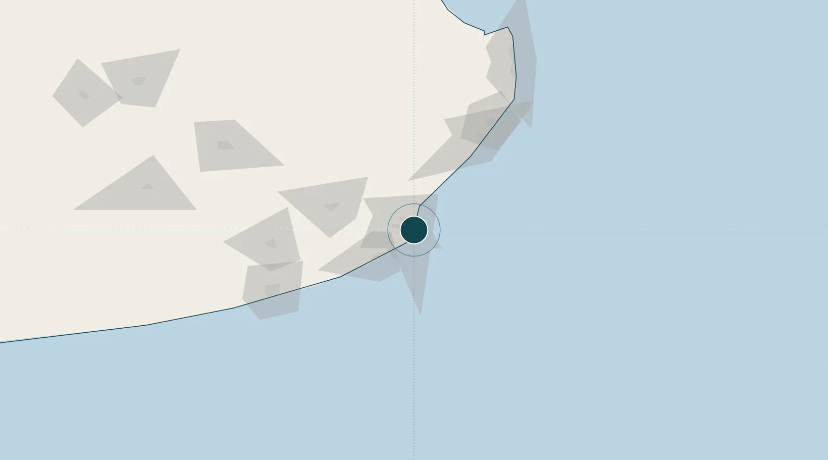
-38.0333°, -57.5333°
6.4 m
Channel depth
1
Container terminals
11.2
Port liner connectivity
Channel & Berth Profile
Pilotage, Tugs & Services
Pilotage compulsoryYES
Pilotage advisableYES
Local assistanceYES
Tug assistanceYES
Shore powerYES
Potable waterYES
Diesel bunkersYES
MedicalYES
Garbage disposalYES
Facilities & Capabilities
Container—
Ro-Ro—
Liquid bulk—
Dry bulk—
Oil terminal—
Break bulk—
Dry dock—
RepairsNO
BunkeringYES
Rail linkYES
Dangerous cargo—
ISPS security—
Harbour Specifications
Harbour size
Small
Harbour type
Coastal (Breakwater)
Shelter
Good
Water body
South Atlantic Ocean
Tidal range
1 m
Pilotage
Yes
Liner Connectivity
11.2
PLSCI
Port Liner Shipping Connectivity Index for Mar Del Plata, as published by UNCTAD for the latest available quarter. Higher values indicate stronger scheduled liner-shipping integration.
Shown relative to the highest per-port PLSCI in the dataset (1,657.9).
Location
Container Terminals · 1
TC2 MAR DEL PLATA
COOTR TC2 MAR DEL PLATA SA
Nearby Logistics Neighbours
Ports
- 1Quequen119 km
- 2La Plata357 km
- 3Montevideo368 km
- 4Buenos Aires389 km
- 5Colonia398 km
Cities
- 1Balcarce67 km
- 2Loberia110 km
- 3Quequén116 km
- 4Punta Medanos154 km
- 5General Lavalle188 km
Airports
- 1Ástor Piazzola International Airport12 km
- 2Villa Gesell Airport99 km
- 3Necochea Airport123 km
- 4Héroes de Malvinas Airport174 km
- 5Santa Teresita Airport181 km
Trade Zones
- 1La Plata Free Trade Zone356 km
- 2Aguada Park Free Zone369 km
- 3World Trade Center Free Zone370 km
- 4Parque de las Ciencias Free Zone383 km
- 5Parque Las Ciencias Free Zone383 km
DatabookThe Record of Consolidated Knowledge
Argentina beyond logistics?