UN/LOCODE hub · South Georgia & South Sandwich Islands
GSGRV
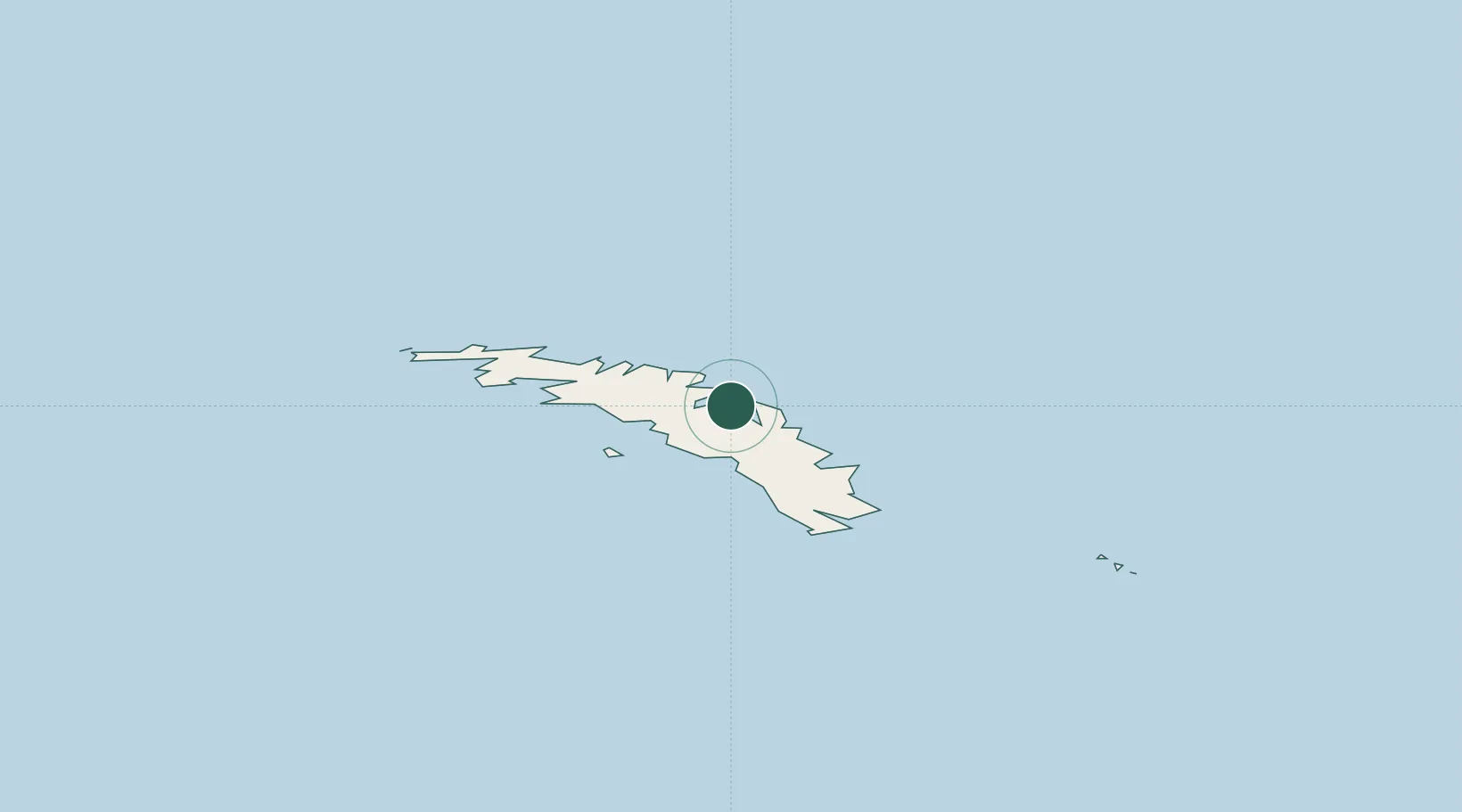
Grytviken
-54.2667°, -36.5000°
2
Population
2
Transport functions
Transport Functions
Port
Road
Hub Profile
Place type
National capital
Population
2
Time zone
Atlantic/South_Georgia
Elevation
4 m
Location
Nearby Logistics Neighbours
Cities
- 1Orcadas870 km
- 2Signy898 km
- 3Esperanza1543 km
- 4General Bernardo O'higgins1578 km
- 5Marambio1581 km
Ports
- 1Stanley1451 km
- 2Mar Del Plata2407 km
- 3Quequen2416 km
- 4Jose Ignacio2570 km
- 5La Paloma2576 km
Airports
- 1Port Stanley Airport1447 km
- 2Mount Pleasant Airport / RAF Mount Pleasant1486 km
- 3Teniente Rodolfo Marsh Martin Airport1571 km
- 4Ástor Piazzola International Airport2418 km
- 5Necochea Airport2431 km
Trade Zones
- 1World Trade Center Free Zone2637 km
- 2Parque Las Ciencias Free Zone2640 km
- 3Parque de las Ciencias Free Zone2640 km
- 4Aguada Park Free Zone2640 km
- 5Zonamerica Free Zone2645 km
DatabookThe Record of Consolidated Knowledge
South Georgia & South Sandwich Islands beyond logistics?