Transport Functions
Port
Road
Hub Profile
Place type
Populated place
Region
England
Time zone
Europe/London
Elevation
3 m
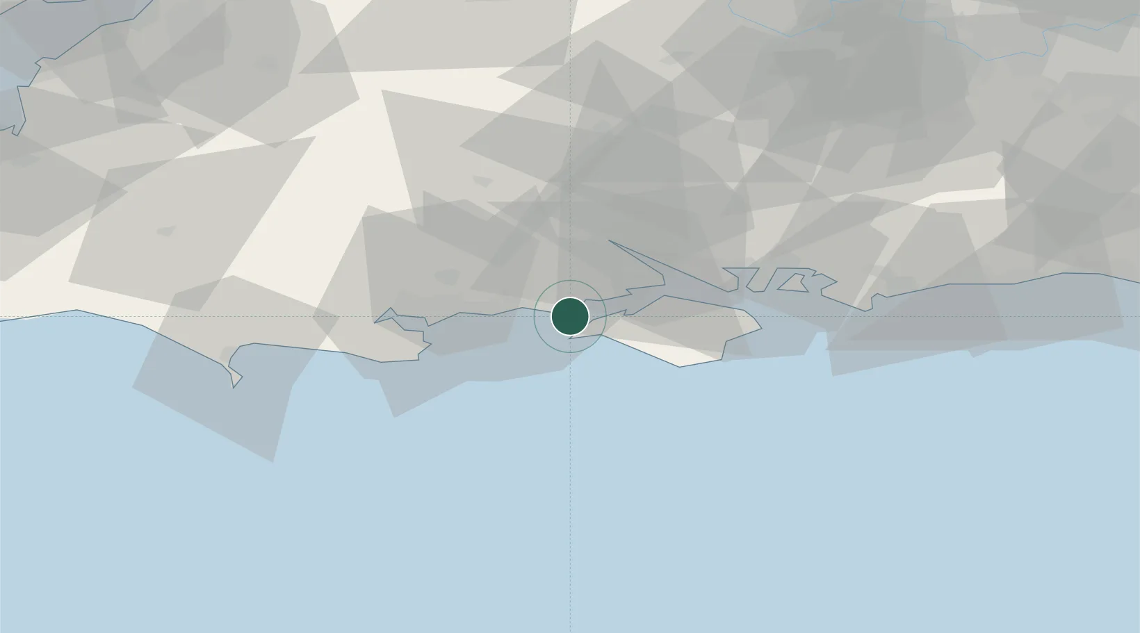
Location
Nearby Logistics Neighbours
Cities
- 1Milford-on-Sea1 km
- 2Yarmouth5 km
- 3Barton on Sea6 km
- 4Freshwater7 km
- 5Sway8 km
Ports
- 1Yarmouth Harbour5 km
- 2Cowes Harbour20 km
- 3Fawley Marine Terminal20 km
- 4Southampton24 km
- 5Poole Harbour27 km
Airports
- 1Bournemouth Airport21 km
- 2Southampton Airport30 km
- 3MoD Boscombe Down50 km
- 4Lasham Airfield64 km
- 5RAF Odiham72 km
Trade Zones
DatabookThe Record of Consolidated Knowledge
United Kingdom beyond logistics?