UN/LOCODE hub · United Kingdom
GBFRW
Freshwater
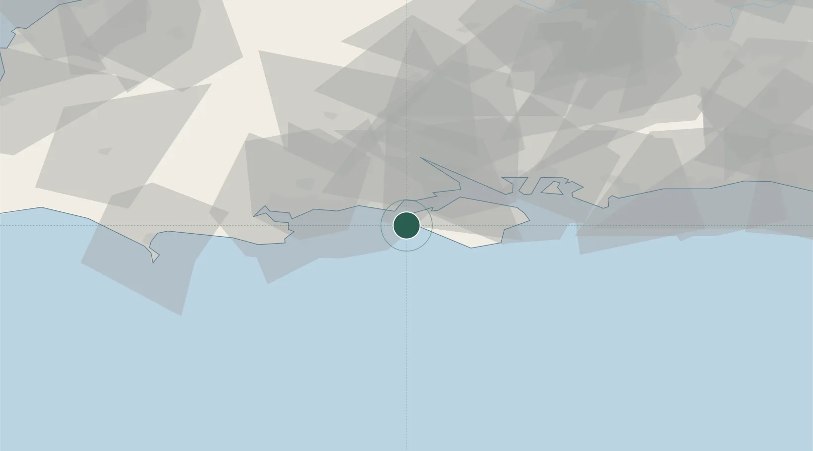
50.6667°, -1.5167°
7,829
Population
2
Transport functions
Transport Functions
Port
Road
Hub Profile
Place type
District seat
Region
England
Population
7,829
Time zone
Europe/London
Elevation
12 m
Location
Nearby Logistics Neighbours
Cities
- 1Yarmouth4 km
- 2Keyhaven7 km
- 3Milford-on-Sea7 km
- 4Newtown9 km
- 5Brighstone10 km
Ports
- 1Yarmouth Harbour4 km
- 2Cowes Harbour19 km
- 3Fawley Marine Terminal21 km
- 4Southampton27 km
- 5Poole Harbour31 km
Airports
- 1Bournemouth Airport26 km
- 2Southampton Airport34 km
- 3MoD Boscombe Down56 km
- 4Lasham Airfield67 km
- 5RAF Odiham75 km
Trade Zones
DatabookThe Record of Consolidated Knowledge
United Kingdom beyond logistics?