Transport Functions
Port
Hub Profile
Place type
District seat
Region
England
Population
912
Time zone
Europe/London
Elevation
2 m
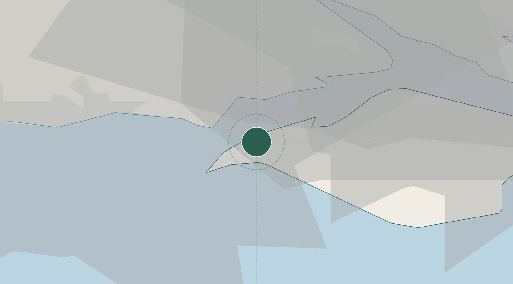
Location
Nearby Logistics Neighbours
Cities
- 1Freshwater4 km
- 2Keyhaven5 km
- 3Milford-on-Sea6 km
- 4Newtown7 km
- 5Brighstone11 km
Ports
- 1Cowes Harbour16 km
- 2Fawley Marine Terminal18 km
- 3Southampton23 km
- 4Portsmouth Harbour30 km
- 5Poole Harbour32 km
Airports
- 1Bournemouth Airport26 km
- 2Southampton Airport30 km
- 3MoD Boscombe Down53 km
- 4Lasham Airfield63 km
- 5RAF Odiham71 km
Trade Zones
DatabookThe Record of Consolidated Knowledge
United Kingdom beyond logistics?