Transport Functions
Port
Hub Profile
Place type
Provincial seat
Region
Scotland
Population
34,130
Time zone
Europe/London
Elevation
14 m
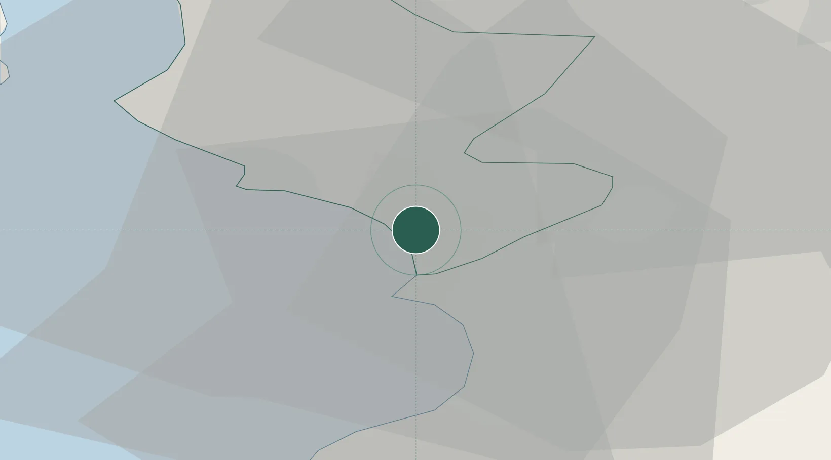
Location
Nearby Logistics Neighbours
Ports
- 1Troon6 km
- 2Ardrossan11 km
- 3Ayr15 km
- 4Hunterston22 km
- 5Millport23 km
Airports
- 1Glasgow Prestwick Airport12 km
- 2Glasgow Airport34 km
- 3Campbeltown Airport67 km
- 4Edinburgh Airport90 km
- 5Islay Airport100 km
Trade Zones
DatabookThe Record of Consolidated Knowledge
United Kingdom beyond logistics?