Transport Functions
Port
Road
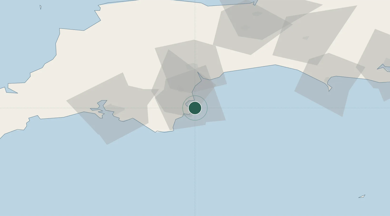
Location
Nearby Logistics Neighbours
Cities
- 1Brixham2 km
- 2Torquay6 km
- 3Paignton7 km
- 4Torbay/Paignton8 km
- 5River Dart9 km
Ports
- 1Brixham Harbour2 km
- 2Torquay Harbour8 km
- 3Dartmouth Harbour11 km
- 4Teignmouth Harbour17 km
- 5Plymouth47 km
Airports
- 1Exeter International Airport38 km
- 2Royal Marines Base Chivenor90 km
- 3RNAS Yeovilton90 km
- 4Hartland Point Heliport100 km
- 5Cornwall Airport Newquay107 km
Trade Zones
DatabookThe Record of Consolidated Knowledge
United Kingdom beyond logistics?