Channel & Berth Profile
Pilotage, Tugs & Services
Pilotage compulsoryYES
Pilotage availableYES
Pilotage advisableYES
Local assistanceYES
Tug assistanceNO
Salvage tugsNO
Potable waterYES
MedicalYES
Garbage disposalYES
Facilities & Capabilities
Container—
Ro-Ro—
Liquid bulk—
Dry bulk—
Oil terminal—
Break bulk—
Dry dock—
RepairsNO
Bunkering—
Rail linkYES
Dangerous cargo—
ISPS security—
Harbour Specifications
Harbour size
Small
Harbour type
Coastal (Breakwater)
Shelter
Good
Water body
Celtic Sea; North Atlantic Ocean
Tidal range
5 m
Overhead limit
Yes
Pilotage
Yes
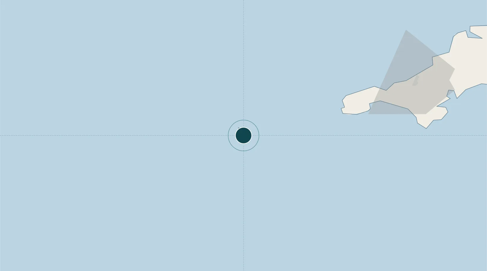
Location
Nearby Logistics Neighbours
Ports
- 1Newlyn59 km
- 2Penzance60 km
- 3Hayle71 km
- 4Falmouth Harbour93 km
- 5Mevagissey116 km
Cities
- 1Hugh Town0 km
- 2Tresco4 km
- 3St Agnes4 km
- 4Saint Agnes4 km
- 5Bryher4 km
Airports
- 1St. Mary's Airport2 km
- 2Tresco Heliport3 km
- 3Land's End Airport51 km
- 4Penzance Heliport62 km
- 5RNAS Culdrose78 km
Trade Zones
DatabookThe Record of Consolidated Knowledge
United Kingdom beyond logistics?