Transport Functions
Port
Road
Hub Profile
Place type
Populated place
Region
Scotland
Time zone
Europe/London
Elevation
13 m
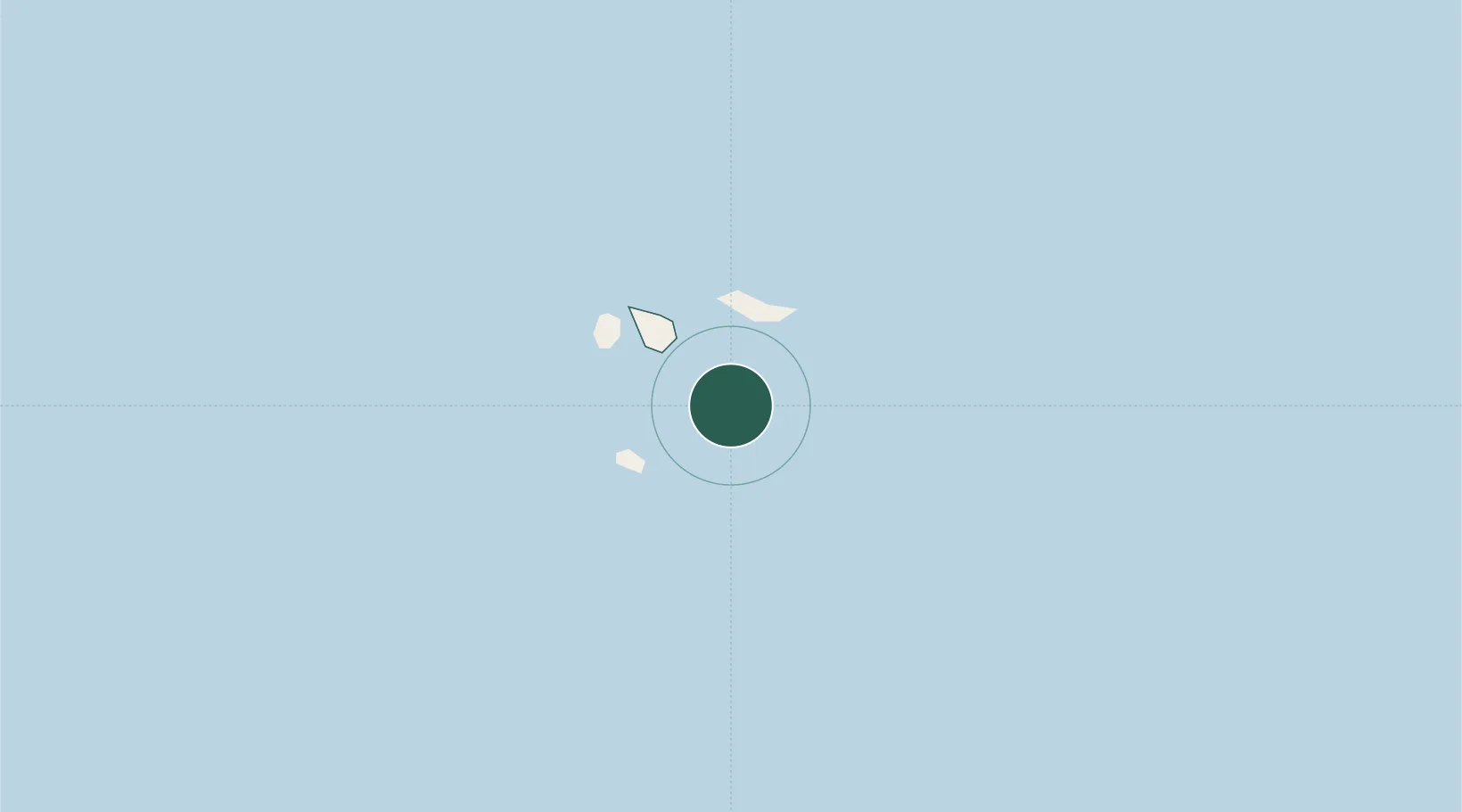
Location
Nearby Logistics Neighbours
Cities
- 1Hugh Town1 km
- 2Saint Martins4 km
- 3Tresco4 km
- 4St Agnes4 km
- 5Saint Agnes4 km
Ports
- 1Newlyn57 km
- 2Penzance59 km
- 3Hayle70 km
- 4Falmouth Harbour92 km
- 5Mevagissey115 km
Airports
- 1St. Mary's Airport1 km
- 2Tresco Heliport4 km
- 3Land's End Airport50 km
- 4Penzance Heliport61 km
- 5RNAS Culdrose77 km
Trade Zones
DatabookThe Record of Consolidated Knowledge
United Kingdom beyond logistics?