UN/LOCODE hub · United Kingdom
GBSAG
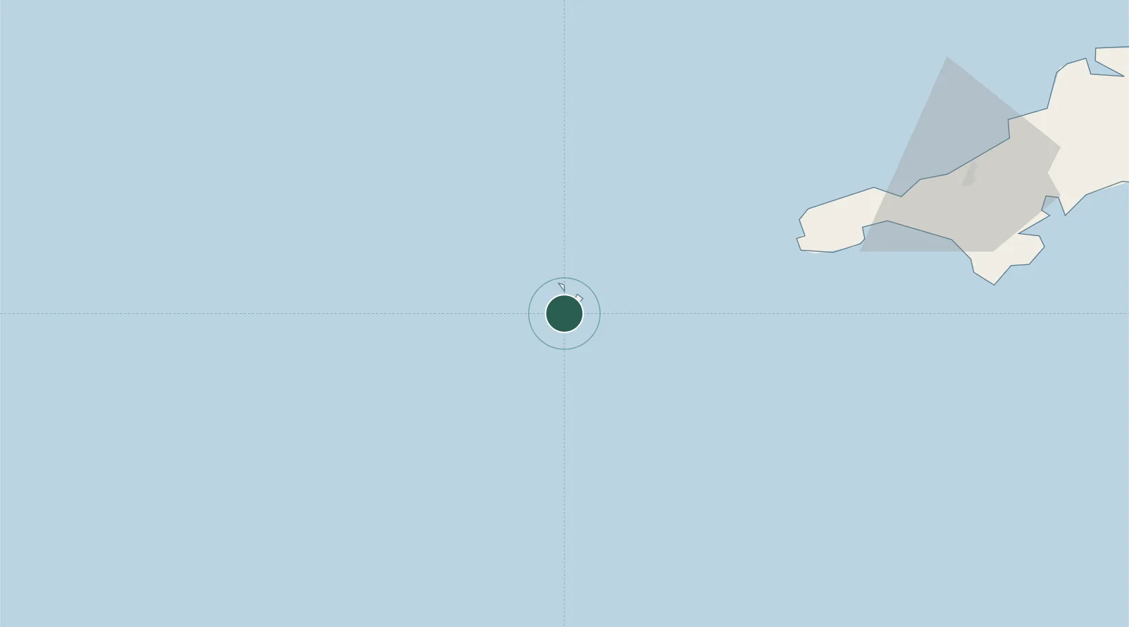
Saint Agnes
49.8833°, -6.3333°
2,820
Population
1
Transport functions
Transport Functions
Port
Hub Profile
Place type
Populated place
Region
England
Population
2,820
Time zone
Europe/London
Elevation
100 m
Location
Nearby Logistics Neighbours
Cities
- 1St Agnes0 km
- 2Hugh Town4 km
- 3Saint Mary's4 km
- 4Tresco7 km
- 5Bryher8 km
Ports
- 1St. Mary's (Scilly Isl.)4 km
- 2Newlyn61 km
- 3Penzance63 km
- 4Hayle74 km
- 5Falmouth Harbour95 km
Airports
- 1St. Mary's Airport5 km
- 2Tresco Heliport7 km
- 3Land's End Airport53 km
- 4Penzance Heliport65 km
- 5RNAS Culdrose80 km
Trade Zones
DatabookThe Record of Consolidated Knowledge
United Kingdom beyond logistics?