Transport Functions
Port
Road
Hub Profile
Place type
Populated place
Region
England
Population
83
Time zone
Europe/London
Elevation
17 m
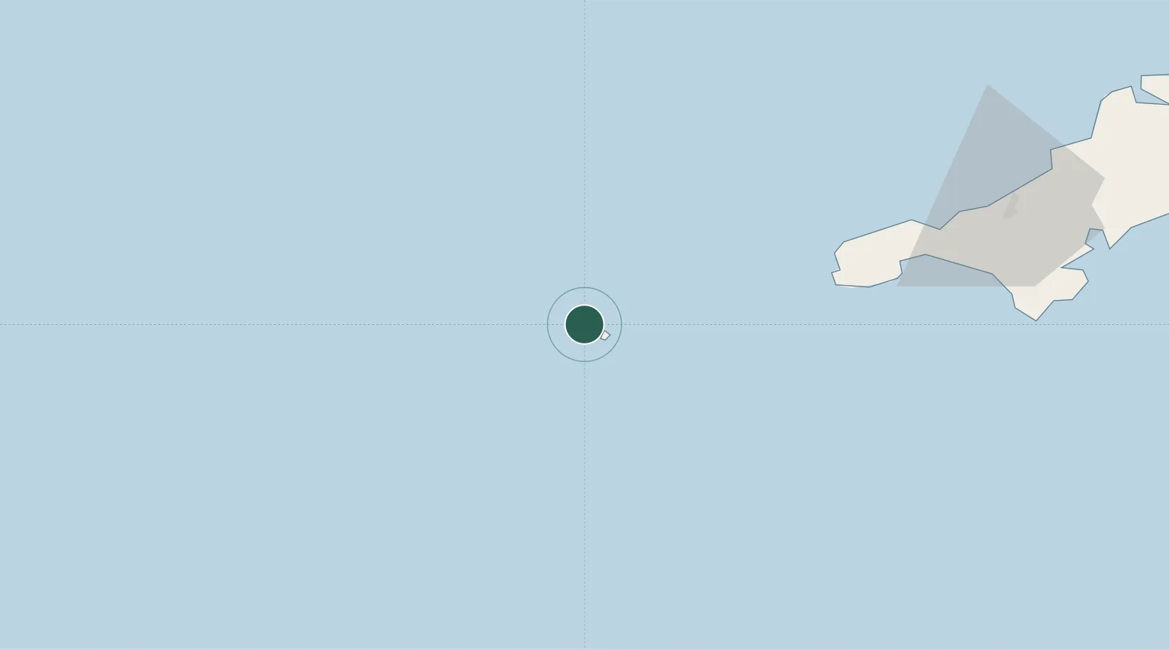
Location
Nearby Logistics Neighbours
Cities
- 1Tresco1 km
- 2Hugh Town4 km
- 3Saint Martins5 km
- 4Saint Mary's5 km
- 5St Agnes8 km
Ports
- 1St. Mary's (Scilly Isl.)4 km
- 2Newlyn60 km
- 3Penzance61 km
- 4Hayle72 km
- 5Falmouth Harbour94 km
Airports
- 1Tresco Heliport1 km
- 2St. Mary's Airport6 km
- 3Land's End Airport51 km
- 4Penzance Heliport63 km
- 5RNAS Culdrose80 km
Trade Zones
DatabookThe Record of Consolidated Knowledge
United Kingdom beyond logistics?