UN/LOCODE hub · United Kingdom
GBSWE
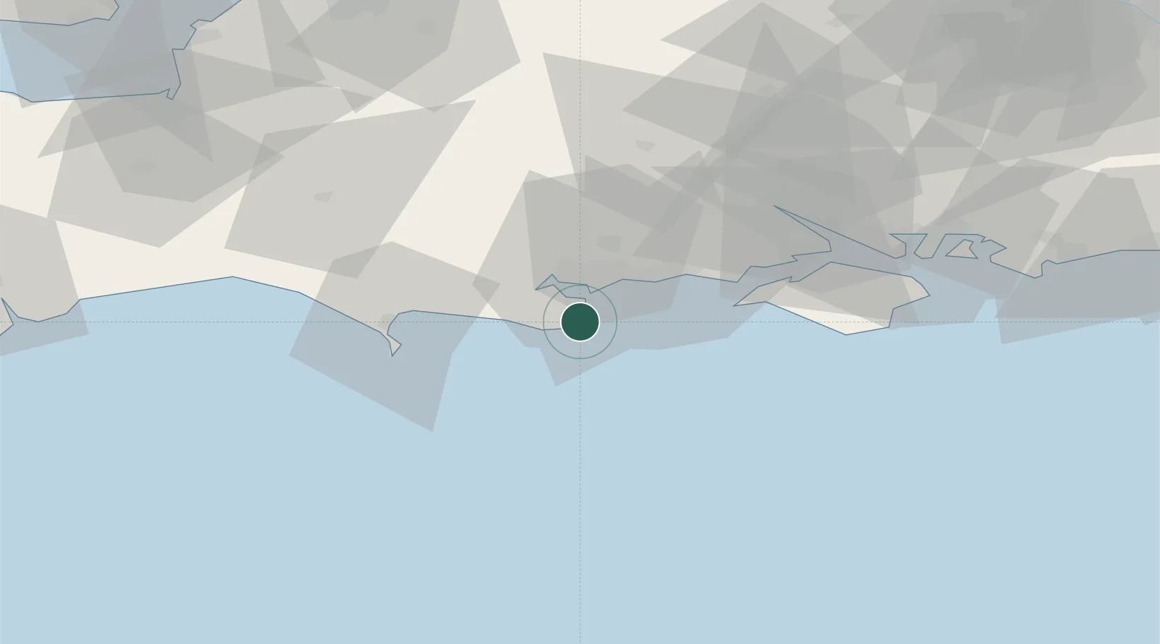
Swanage
50.6167°, -1.9667°
10,454
Population
3
Transport functions
Transport Functions
Port
Rail
Road
Hub Profile
Place type
Populated place
Region
England
Population
10,454
Time zone
Europe/London
Elevation
5 m
Location
Nearby Logistics Neighbours
Cities
- 1Studland3 km
- 2Furzebrook9 km
- 3Kimmeridge11 km
- 4Wareham13 km
- 5Lytchett Minster14 km
Ports
- 1Poole Harbour8 km
- 2Portland Harbour33 km
- 3Weymouth Harbour34 km
- 4Yarmouth Harbour34 km
- 5Fawley Marine Terminal50 km
Airports
- 1Bournemouth Airport20 km
- 2Southampton Airport57 km
- 3MoD Boscombe Down62 km
- 4RNAS Yeovilton64 km
- 5Lasham Airfield91 km
Trade Zones
- 1Dorset Innovation Park22 km
- 2Southampton Free Zone50 km
- 3Solent Enterprise Zone67 km
- 4EZ³ Enterprise Zone71 km
- 5Bristol Temple Quarter Enterprise Zone102 km
DatabookThe Record of Consolidated Knowledge
United Kingdom beyond logistics?