Transport Functions
Port
Rail
Multimodal
Hub Profile
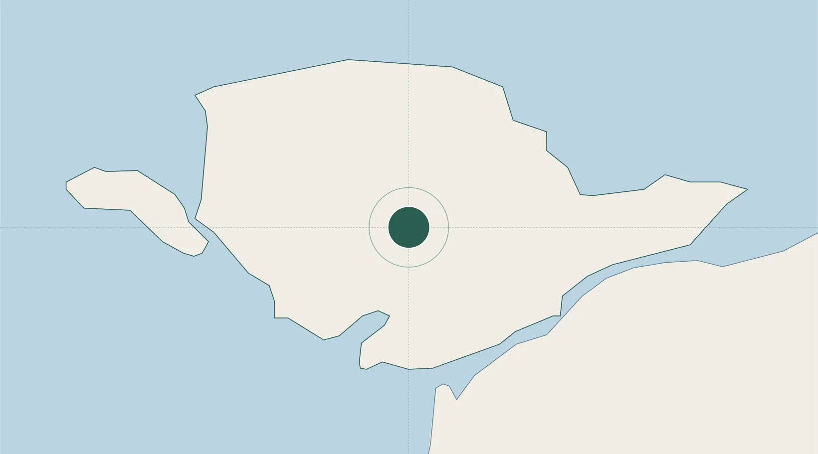
Place type
Populated place
Region
Wales
Time zone
Europe/London
Elevation
52 m
Location
Nearby Logistics Neighbours
Ports
- 1Caernarvon15 km
- 2Holyhead19 km
- 3Liverpool Bay Terminal62 km
- 4Mostyn73 km
- 5Liverpool92 km
Airports
- 1Anglesey Airport11 km
- 2Isle of Man Airport92 km
- 3Hawarden Airport93 km
- 4Liverpool John Lennon Airport101 km
- 5Blackpool Airport105 km
Trade Zones
DatabookThe Record of Consolidated Knowledge
United Kingdom beyond logistics?