UN/LOCODE hub · United Kingdom
GBRNE
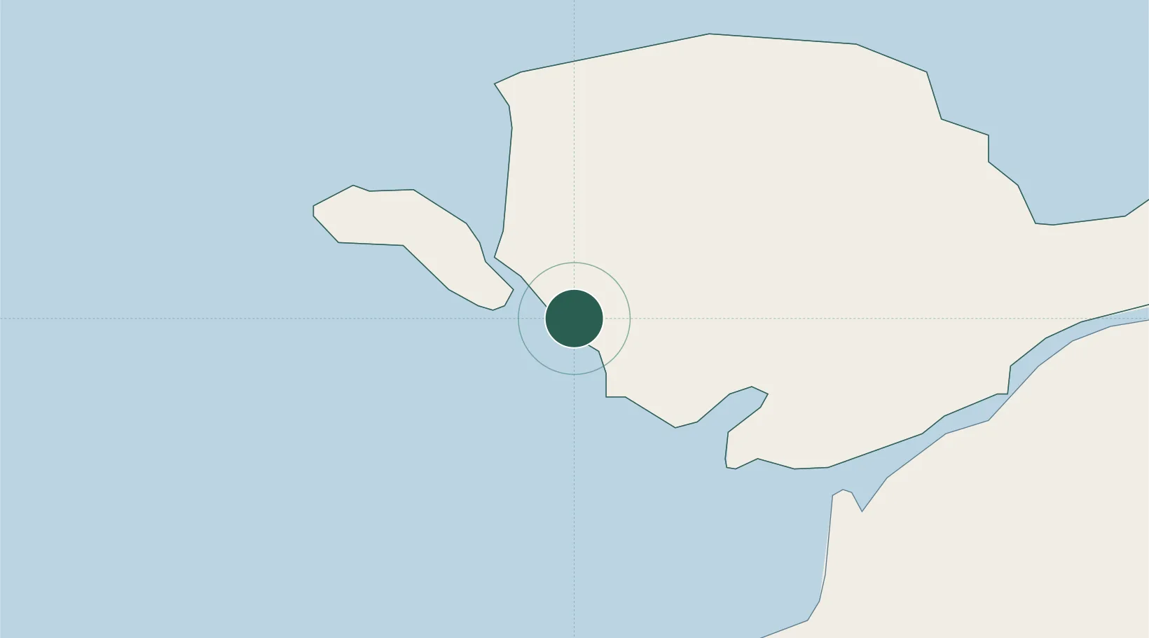
Rhosneigr
53.2333°, -4.5167°
1,008
Population
1
Transport functions
Transport Functions
Port
Hub Profile
Place type
Populated place
Region
Wales
Population
1,008
Time zone
Europe/London
Elevation
21 m
Location
Nearby Logistics Neighbours
Ports
- 1Holyhead12 km
- 2Caernarvon19 km
- 3Liverpool Bay Terminal72 km
- 4Mostyn84 km
- 5Douglas102 km
Airports
- 1Anglesey Airport2 km
- 2Isle of Man Airport95 km
- 3Hawarden Airport103 km
- 4Liverpool John Lennon Airport111 km
- 5Blackpool Airport115 km
Trade Zones
DatabookThe Record of Consolidated Knowledge
United Kingdom beyond logistics?