Transport Functions
Port
Road
Hub Profile
Region
AGY
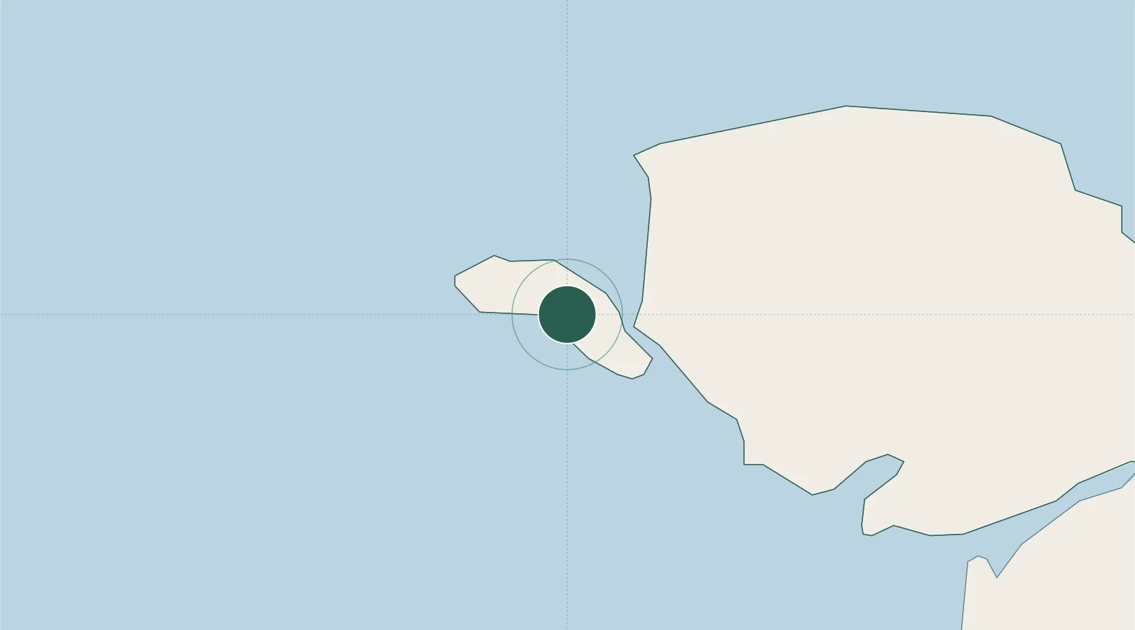
Location
Nearby Logistics Neighbours
Cities
- 1Rhosneigr9 km
- 2Aberffraw16 km
- 3Bodffordd17 km
- 4Cemaes Bay19 km
- 5Llangefni21 km
Ports
- 1Holyhead4 km
- 2Caernarvon28 km
- 3Liverpool Bay Terminal76 km
- 4Mostyn90 km
- 5Douglas97 km
Airports
- 1Anglesey Airport7 km
- 2Isle of Man Airport89 km
- 3Hawarden Airport110 km
- 4Dublin Airport110 km
- 5Liverpool John Lennon Airport118 km
Trade Zones
DatabookThe Record of Consolidated Knowledge
United Kingdom beyond logistics?