UN/LOCODE hub · United Kingdom
GBCEB
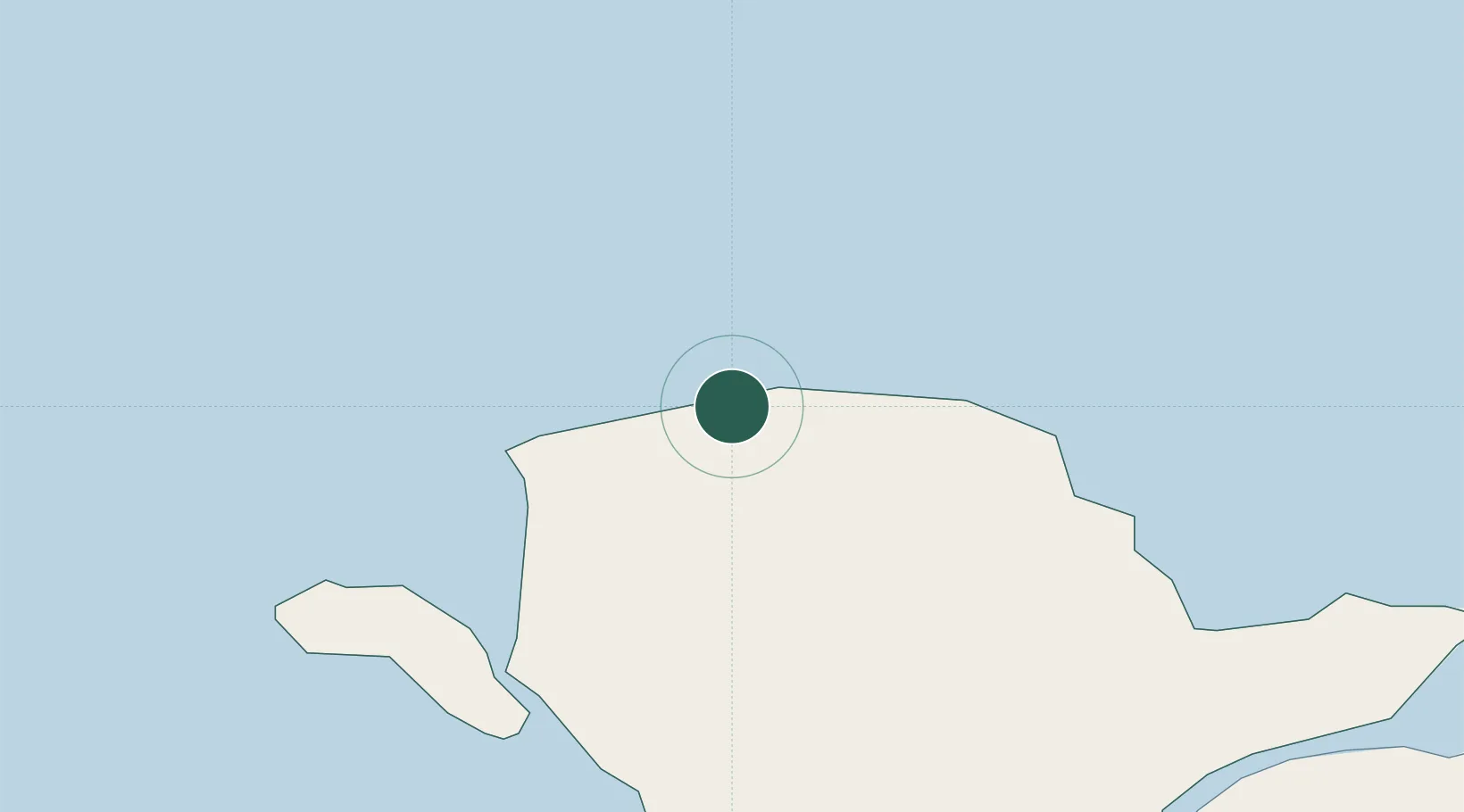
Cemaes Bay
53.4167°, -4.4500°
1,187
Population
2
Transport functions
Transport Functions
Port
Road
Hub Profile
Place type
Populated place
Region
Wales
Population
1,187
Time zone
Europe/London
Elevation
12 m
Location
Nearby Logistics Neighbours
Cities
- 1Amlwch7 km
- 2Dulas Bay13 km
- 3Moelfre Roads16 km
- 4Bodffordd18 km
- 5Trearddur19 km
Ports
- 1Holyhead17 km
- 2Caernarvon32 km
- 3Liverpool Bay Terminal61 km
- 4Mostyn79 km
- 5Douglas82 km
Airports
- 1Anglesey Airport20 km
- 2Isle of Man Airport75 km
- 3Hawarden Airport101 km
- 4Blackpool Airport102 km
- 5Liverpool John Lennon Airport107 km
Trade Zones
DatabookThe Record of Consolidated Knowledge
United Kingdom beyond logistics?