Transport Functions
Port
Road
Hub Profile
Place type
Populated place
Region
Scotland
Time zone
Europe/London
Elevation
275 m
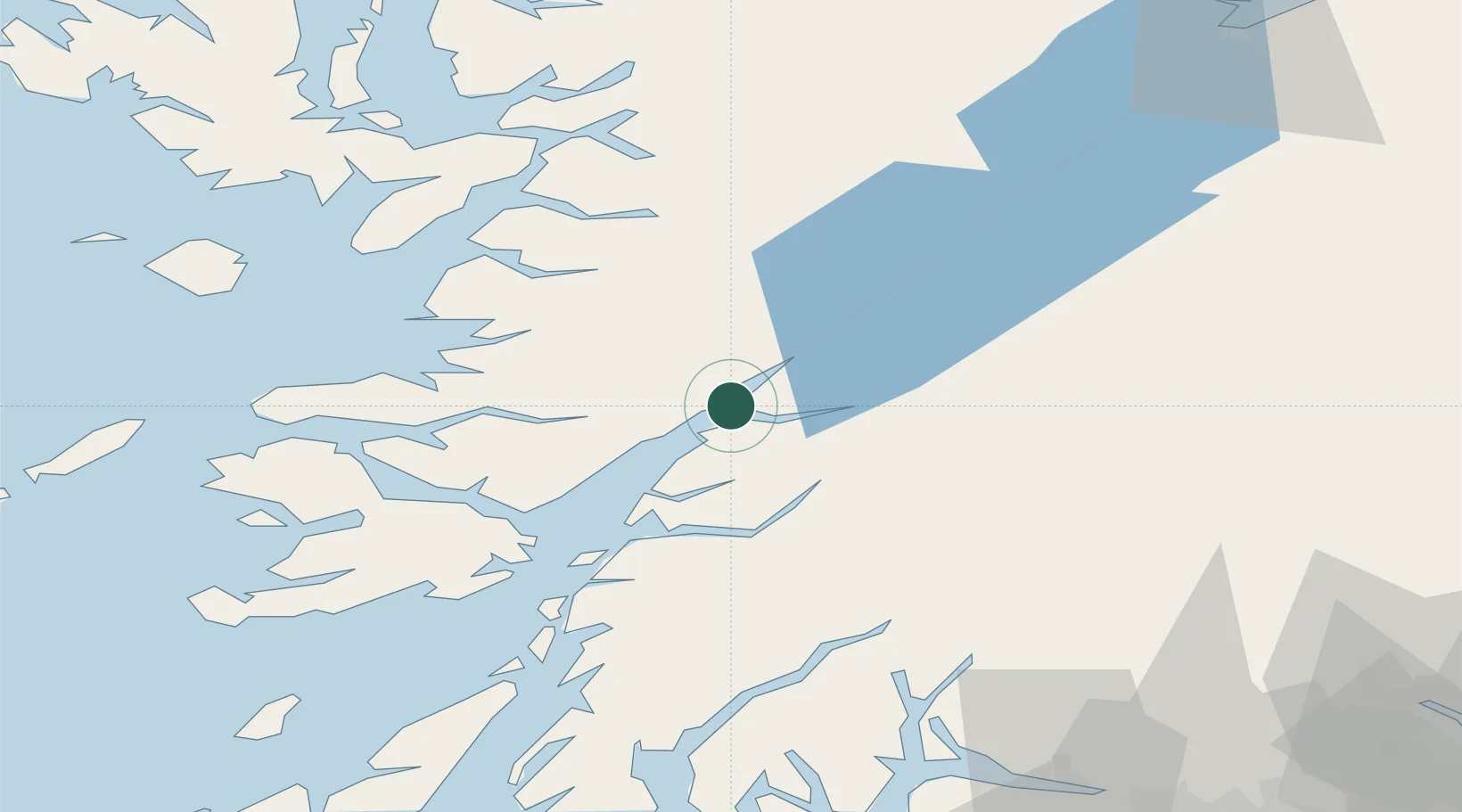
Location
Nearby Logistics Neighbours
Cities
- 1Corran1 km
- 2Fort William14 km
- 3Camusnagaul15 km
- 4Kinlochleven16 km
- 5Corpach17 km
Ports
- 1Fort William14 km
- 2Corpach17 km
- 3Glensanda24 km
- 4Oban36 km
- 5Lochaline37 km
Airports
- 1Oban Airport30 km
- 2Coll Airport85 km
- 3Colonsay Airstrip95 km
- 4Tiree Airport102 km
- 5Glasgow Airport107 km
Trade Zones
DatabookThe Record of Consolidated Knowledge
United Kingdom beyond logistics?